
Country Germany Admin. region Unterfranken Area 4.01 km² Local time Sunday 1:54 PM | Elevation 180 m (590 ft) Population 1,628 (31 Dec 2008) Postal code 97250 | |
 | ||
Weather 12°C, Wind E at 19 km/h, 43% Humidity | ||
Erlabrunn is a municipality in the district of Würzburg in Bavaria, Germany. It has an administrative division together with its neighbour Margetshöchheim. It is known for its viticulture and its orcharding.
Contents
Map of Erlabrunn, Germany
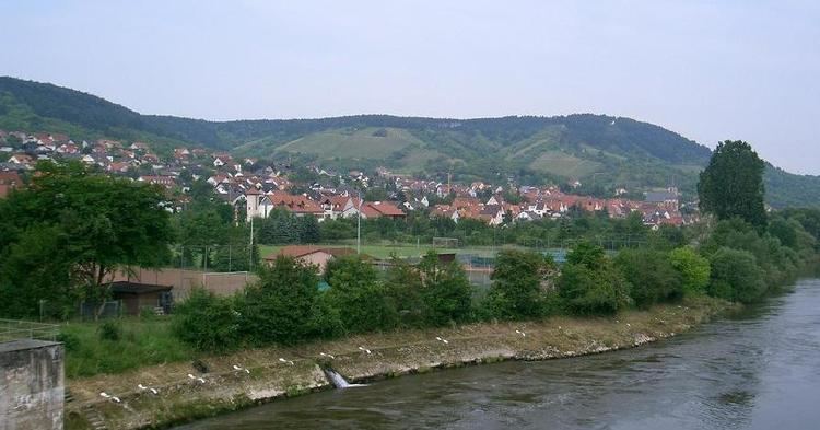
Erlabrunn is about 10 kilometres (6 mi) north of Würzburg. Its neighbours are in the south Margetshöchheim und Veitshöchheim, in the west Leinach and in the north Zellingen and Thüngersheim. It is situated on the west side of the river Main. It was first mentioned in 1209.
The mayor is Günter Muth (CSU/FWG) since 2002. His predecessor was Friedrich Petermann (SPD/Unabhängige Bürger, in office 1990–2002). Before him there were Eugen Blaß (1948–1960), Oskar Eckart (1960–1984) and Hans Muth (1984–90). Its sister city is the French commune Quettehou since 1985.
History
In the 12th century, the castle Falkenberg existed on the mountain people (the former name was Falkenberg) at the northern end of the current location. The inhabitants of the castle Falkenberg were vassals of Ravensburg. As punishment for the murder of Bishop Konrad von Würzburg Querfurt the castle was razed. Today, only see a few stones from the ruins.
The first written mention of the place dates from 1209 and means that the area was part of today's Erlabrunn the Earl of Rieneck. When the count started a loan from the Bishop of Wurzburg, he mortgaged the land to the diocese of Würzburg. As part of this was Erlabrunn—secularized in 1803 in favor of Bavaria—then in the Peace of Pressburg (1805) to Archduke Ferdinand III. From Tuscany to the formation of the Grand Duchy of Würzburg, with which it fell back to Bavaria in 1814. In the course of administrative reform in Bavaria was created—with the edict of 1818 community—the church today.
The Catholic parish of St. Andrew was built around 1381st 1597, the parish became independent, having previously belonged to the parish Hettstadt. Because of the danger of collapse in 1655 they demolished and rebuilt in 1656. The church was consecrated on 16 September 1657. The interior of the church was partially renovated in 1999.
Under the motto "Old receive shaping the future" since 1991, the village renovation is being driven. Here are reconstructed mainly by the passage of the street and adjacent streets Altort. It started in the northern part of the thoroughfare, the road Zellinger. In the second phase of the field will be renewed at the school. Has also been decided to redesign the road Wuerzburg (south of the school), but due to scarce funds, the construction projects postponed indefinitely.
To meet the growing demand for building sites meet, in 2005 in the north of the town opened up for the conditions of the place large building area "on conical wells / Goldbühlein. In support of the size of the development of legal and economic reasons were given. The development costs were 2.3 million euros.