
PIN 628801 Population 19,284 (2004) | Time zone IST (UTC+5:30) Vehicle registration TN92 Local time Sunday 3:51 AM | |
 | ||
Weather 28°C, Wind S at 10 km/h, 83% Humidity | ||
Eral is a town in the Tuticorin district in the state of Tamil Nadu, India.
Contents
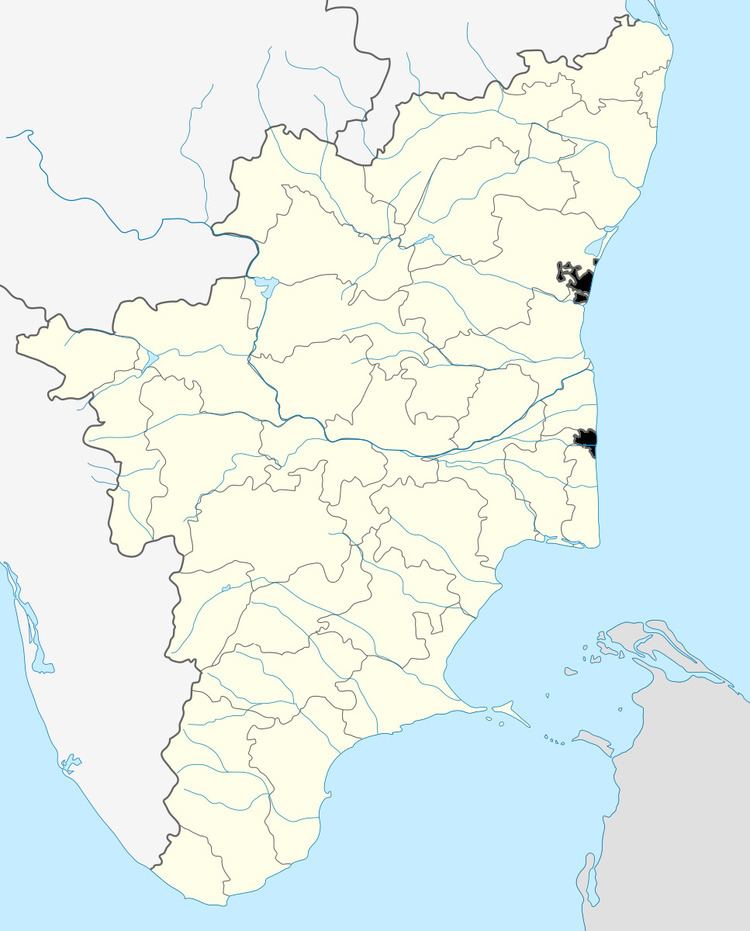
Map of Eral, Tamil Nadu 628801
Education
Eral has many schools:
A government library is located near the Gandhi Statue.
Economy
Eral functions as a commercial hub of Thoothukudi District. There is a bazaar with about a thousand shops selling inexpensive goods. There are approximately 15 textile shops, 60 jewelry shops, 10 home appliance stores, fruit stalls, plus hotels, tea stalls, etc. Brass metal mart shops for temple goods and cooking utensils are famous for large size kuthuvillakku like Kumbakonam works.
Culture
Eral has religious diversity; Hindu temples, mosques, and churches are located approximately within 0.5 km of each other.2. Devi NattarAmman Temple, Sowkkai muthaara amman Temple, Muthumalai Amman temple, Sivan temple, Uchini mahali amman and Karuppasamy temple are the few famous temples located in and around Eral.
Mugaideen Andavar big mosque, St. Luke's Church, Soosai apper Church (St. Joseph Church) and Sowkkai muthaara amman temples are facing each other and located at the center of the town. These are main landmarks in this town.
105-year-old chairman Arunachala Swami Temple is one of the famous temples in Eral located at Tamirabharani river. (Tamil calendar month) Thai ammavaasai (No moon Day) and Aaadi ammavaasai festivals are greatly celebrated in this temple.
Geography
Eral is bounded by the Thamirabarani River in the south, the Thamirabarani canal in the north which is close to Siruthonda Nalloor Village, the village of Mangalakurichi, Kottaikkadu to the west and the village of Vazhavallan to the east. The nearest pivotal towns are: Thiruvaikundam at 19 km, Tiruchendur at 19 km, Tuticorin at 26 km, Tirunelveli at 46 km and Kanniyakumari at 86 km..
Demographics
As of 2001 India census, Eral had a population of 9284. Males constitute 49% of the population and females 51%. Eral has an average literacy rate of 81%, higher than the national average of 59.5%: male literacy is 84%, and female literacy is 78%. In Eral, 11% of the population is under 6 years of age.