
Vehicle registration SD Area 23 km² Population 1,790 (1 Apr 2009) Area code 07762 | Time zone CET (UTC+1) Elevation 373 m Local time Saturday 9:14 AM Postal code 4761 | |
 | ||
Website www.enzenkirchen.ooe.gv.at Weather 4°C, Wind SW at 2 km/h, 74% Humidity | ||
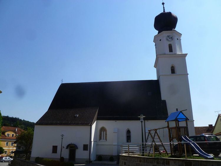
Enzenkirchen is a municipality in the district of Schärding in the Austrian state of Upper Austria.
Contents
Map of 4761 Enzenkirchen, Austria
Geography
Enzenkirchen lies in the Innviertel. About 22 percent of the municipality is forest, and 70 percent is farmland.
References
Enzenkirchen Wikipedia(Text) CC BY-SA