
Area 1,698 km² | Time zone China Standard (UTC+8) Local time Saturday 9:32 AM | |
 | ||
Country People's Republic of China Weather 17°C, Wind N at 10 km/h, 98% Humidity Points of interest Didu Hot Spring, Xiema Jurencun Scenic Ar, Shitoucun | ||
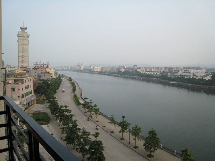
Enping 2011 aofeng mt
Enping, formerly romanized as Yanping, is a county-level city in Guangdong, China, administered as part of the prefecture-level city of Jiangmen.
Contents
- Enping 2011 aofeng mt
- Map of Enping Jiangmen Guangdong China
- Geography
- History
- Administrative divisions
- References
Map of Enping, Jiangmen, Guangdong, China
Enping administers an area of 1,698 km2 (656 sq mi) and had an estimated population of 460,000 in 2005. Its diaspora accounts for around 420,000 overseas Chinese. The area around Enping is known for its many hot springs.
Geography
Enping is located in southwest Guangdong, at the edge of the Pearl River Delta and beside the South China Sea. Enping borders Kaiping to the northeast and Yangjing to the southwest.
History
Enping County was established in AD 220. Under the Qing, it made up part of the commandery of Zhaoqing and was one of the Four Counties responsible for much of the early Chinese diaspora from Guangdong in the 19th century. Many overseas Chinese trace their ancestry to Enping, particularly among the Chinese in Venezuela. Migrants from Enping and their families make up about 200,000 of the country's estimated 400,000 Chinese. Emigration to Venezuela occurred primarily in the decades including and following the World Wars, with the largest batch leaving at the end of the Cultural Revolution in the late 1970s. Enping was made a county-level city in 1994.
Administrative divisions
Enping comprises 10 towns, 3 sub-district offices, 4 farms and stations, and 174 village neighborhood committees.