
Admin. region Arnsberg Elevation 170-390 m (−1,110 ft) Area 57.42 km² Local time Saturday 1:30 AM Dialling code 02333 | Time zone CET/CEST (UTC+1/+2) Population 30,633 (30 Jun 2010) Postal code 58256 Administrative region Arnsberg | |
 | ||
Weather 5°C, Wind SE at 11 km/h, 71% Humidity | ||
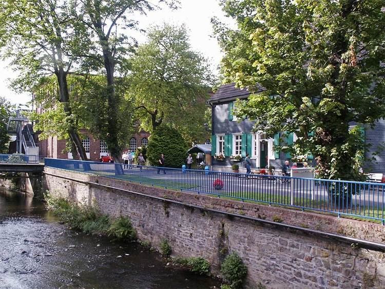
Ennepetal is a town in the district of Ennepe-Ruhr-Kreis, in North Rhine-Westphalia, Germany. It was created in 1949 out of the former municipalities Milspe and Voerde. It was named after the river Ennepe, which flows through the municipality.
Contents
- Map of 58256 Ennepetal Germany
- Division of the town
- International relations
- Transport
- Notable places
- Economy
- Sons and daughters of the town
- People who are connected to Ennepetal
- References
Map of 58256 Ennepetal, Germany
The town was featured in the headlines when on April 12, 2005, a hostage taker snatched several school children from a school bus and took them as hostages, see Ennepetal hostage taking.
Division of the town
Ennepetal ist divided into nine quarters (Ortsteile), which resemble former towns and villages. The population is shown as of 10 June 2015:
International relations
Ennepetal is twinned with:
Transport
The Ennepetal (Gevelsberg) station on the Wuppertal–Dortmund railway is served by regional trains.
The town also had a station named "Voerde" on the Kleinbahn Haspe-Voerde-Breckerfeld, which in former times was the longest streetcar in Germany. Today, the former track is being used as a walk and bicycle way, connecting the Ruhr area to the nearby Sauerland.
Notable places
The Klutert Cave is one of the largest natural caves of Germany with a length of over 5 km.