Vehicle registration KL- 14 | Time zone IST (UTC+5:30) Area 78.23 km² | |
 | ||
Enmakaje is a village in Kasaragod district in the state of Kerala, India. The administrative capital of the village is Perla, Kasaragod.
Contents
- Map of Enmakaje Kerala
- Demographics
- Transportation
- Schools
- Languages
- Destruction caused by pesticide
- References
Map of Enmakaje, Kerala
Demographics
As of 2001 India census, Enmakaje had a population of 11773 with 5932 males and 5841 females.
Transportation
Local roads have access to National Highway No.66 which connects to Mangalore in the north and Calicut in the south. The nearest railway station is Manjeshwar on Mangalore-Palakkad line. There is an airport at Mangalore.
Schools
Languages
This locality is an essentially multi-lingual region. The people speak Malayalam, Kannada, Tulu, Beary bashe and Konkani. Migrant workers also speak Hindi and Tamil languages. This village is part of Manjeswaram assembly constituency which is again part of Kasaragod (Lok Sabha constituency)
Destruction caused by pesticide
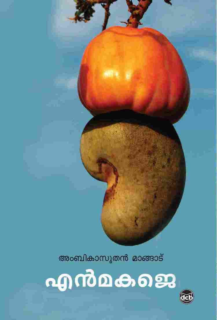
From 1975 onwards, the pesticide Endosulfan was used for various plantations in Enmakaje without any restrictions or control. This resulted in a huge number of deaths as well as serious injuries. Majority of the 4,000 deaths caused by Endosulfan in the Kasargode District occurred in Enmakaje. Padre village in the Enmakaje Panchayath was the most severely affected area, partly because it is surrounded on all sides by cashew nut plantations.
