
- elevation 502 m (1,647 ft) Length 615 km Source Unnamed lake | - elevation 298 m (978 ft) Basin area 52,300 km² Province Ontario | |
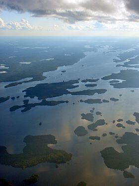 | ||
The English River is a river in Kenora District and Thunder Bay District in Northwestern Ontario, Canada. It flows through Lac Seul to join the Winnipeg River as a right tributary. The river is in the Hudson Bay drainage basin, is 615 kilometres (382 mi) long and has a drainage basin of 52,300 square kilometres (20,200 sq mi). There are several hydroelectric plants on this river.
Contents
Map of English River, Ear Falls, ON, Canada
There is also a settlement on the river called English River, located where Ontario Highway 17 crosses the river at its confluence with the Scotch River, along with a nearby railway point of the same name, constructed as part of the Canadian Pacific Railway transcontinental main line.
CourseEdit
For a map showing the river course, see this reference.
The English River flows through Lac Seul to its mouth at the Winnipeg River, which flows via the Nelson River to Hudson Bay.