
Area codes 04 Postal code 4480 Local time Friday 8:52 PM | Postal codes 4480 Website www.engis.be Province Liège Area code 04 Governing party Parti Socialiste | |
 | ||
Weather 8°C, Wind E at 11 km/h, 65% Humidity | ||
Engis is a Walloon municipality located in the Belgian province of Liège. On January 1, 2006, Engis had a total population of 5,686. The total area is 27.74 km² which gives a population density of 205 inhabitants per km².
Contents
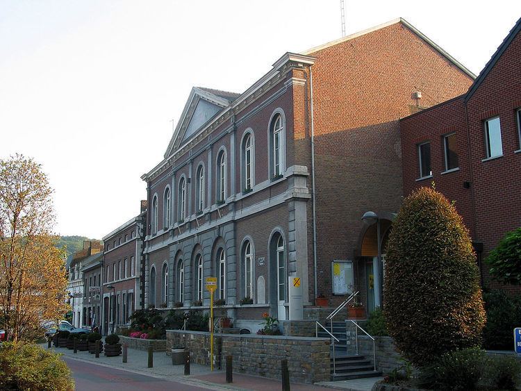
Map of 4480 Engis, Belgium
The municipality consists of the following sub-municipalities: Engis proper, Clermont-sous-Huy, Éhein-Bas, and Hermalle-sous-Huy.
It is in this village that in 1829 the first Neanderthal skulls (Engis 2) were discovered by Philippe-Charles Schmerling, prior to the official discovery in the Neander Valley in 1856.
Engis jag lskar dej
Pollution fatalities
In late 1930 and early 1931, several thousand cases of acute pulmonary attacks occurred in the Meuse valley, centered on Engis, and 60 people died. A commission of inquiry set up by the Belgian government concluded that the cause was poisonous waste gases, primarily sulfur dioxide, emitted by the many factories in the valley and the furnaces used by the population, in conjunction with unusual climatic conditions coupled with the unique topographic characteristics of the area. Others have claimed that the deaths were the result acute fluorine intoxication.