Surface elevation 565 m | ||
 | ||
Location Waubay Township, Day and Roberts counties, Lake Traverse Indian Reservation, South Dakota, United States | ||
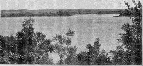
Enemy Swim Lake is a lake in the glacial lake region of northeastern South Dakota located on the Lake Traverse Indian Reservation in Day County. Its coordinates are 45.4394°N 97.2662°W / 45.4394; -97.2662 and the elevation is 1854 feet (565 meters).
Map of Enemy Swim Lake, Waubay Township, SD 57273, USA
Enemy Swim Lake's name is an accurate preservation of its native Sioux name, recalling an incident when Indians had to swim across the lake to escape their enemy.
References
Enemy Swim Lake Wikipedia(Text) CC BY-SA
