
Country Canada Census division 4 Elevation 615 m (2,018 ft) Area 175 ha | Region Central Alberta Time zone MST (UTC−7) Population 135 (2016) Local time Friday 1:14 AM | |
 | ||
Weather -18°C, Wind E at 23 km/h, 82% Humidity | ||
Empress alberta
Empress is a village located along the Alberta/Saskatchewan border; in southern Alberta 121 kilometres (75 mi) north of Medicine Hat. The town was named, in 1913, for Queen Victoria, who was also Empress of India. In the past it was known as the "Hub of the West", connecting major cities together by the Canadian Pacific Railway.
Contents
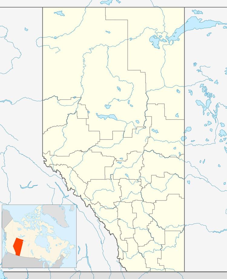
Map of Empress, AB, Canada
It is located at the confluence of Red Deer River and South Saskatchewan River, at an elevation of 650 metres (2,130 ft). It is connected to Buffalo Trail by Highway 899 and Highway 562.
Demographics
In the 2016 Census of Population conducted by Statistics Canada, the Village of Empress recorded a population of 135 living in 58 of its 71 total private dwellings, a 2998718000000000000♠−28.2% change from its 2011 population of 188. With a land area of 1.58 km2 (0.61 sq mi), it had a population density of 85.4/km2 (221.3/sq mi) in 2016.
In the 2011 Census, the Village of Empress had a population of 188 living in 69 of its 73 total dwellings, a 38.2% change from its 2006 population of 136. With a land area of 1.75 km2 (0.68 sq mi), it had a population density of 107.4/km2 (278.2/sq mi) in 2011.
In 2006, Empress had a population of 136 living in 76 dwellings, a 20.5% decrease from 2001. The village had a land area of 1.75 km2 (0.68 sq mi) and a population density of 77.8/km2 (202/sq mi).
Climate
Located in the steppe region known as Palliser's Triangle, Empress experiences a semi-arid climate (Köppen climate classification BSk). Winters are long, cold and dry, while summers are short, but with average daytime highs that are warm to hot, though nighttime lows are cool. Spring and autumn are quite short, essentially transition periods between winter and summer. Wide diurnal temperature ranges are regular, due to the aridity and moderately high elevation. Low humidity is prevalent throughout the year. Annual precipitation is very low, with an average of 312mm, and is heavily concentrated in the warmer months. On average, the coldest month is January, with a mean temperature of −12 °C (10 °F), while the warmest is July, with a mean temperature of 20 °C (68 °F). The driest month is February, with an average of 9 millimetres (0.35 in) of precipitation, while the wettest is June, with an average of 69 millimetres (2.7 in).