
Time zone UTC -3 Dial plan +598 2 (+7 digits) Population 4,199 (2011) | Postal code 91002 Local time Friday 2:20 AM | |
 | ||
Weather 21°C, Wind W at 21 km/h, 63% Humidity | ||
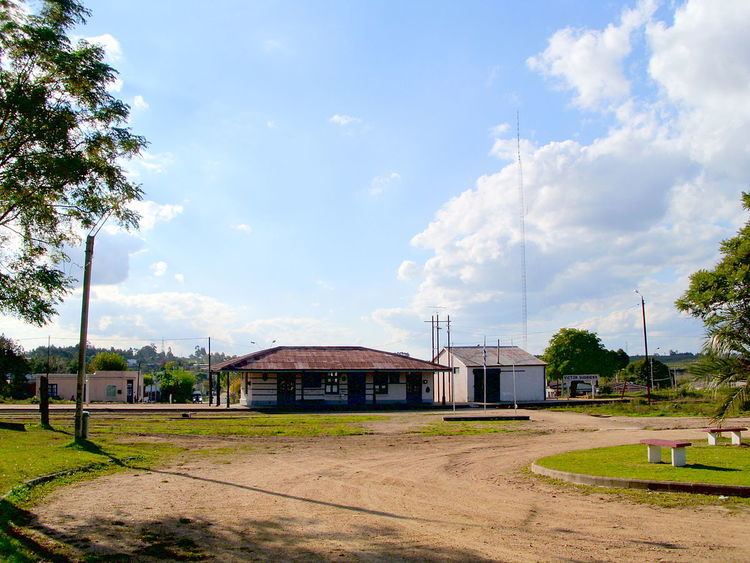
Empalme Olmos is a village in the Canelones Department of southern Uruguay.
Contents
- Map of Empalme Olmos Canelones Department Uruguay
- Location
- History
- Population
- Places of worship
- References
Map of Empalme Olmos, Canelones Department, Uruguay
Empalme Olmos is also the name of the municipality to which the town belongs.
Location
The village is located at the junction of Route 8 with Routes 82 and 34, about 6 kilometres (3.7 mi) northeast of the city of Pando.
History
Its status was elevated to "Pueblo" (village) on 3 November 1952 by the Act of Ley Nº 11.877.
Population
In 2011 Empalme Olmos had a population of 4,199. In 2010, the Intendencia de Canelones had recorded a population of 5,497 for the municipality during the elections.
Source: Instituto Nacional de Estadística de Uruguay
Places of worship
References
Empalme Olmos Wikipedia(Text) CC BY-SA