Country United States ZIP codes 41625 Elevation 195 m | Time zone Eastern (EST) (UTC-5) GNIS feature ID 491764 Local time Thursday 10:11 PM | |
 | ||
Weather 17°C, Wind S at 11 km/h, 28% Humidity | ||
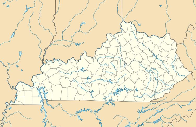
Emma is an unincorporated community and coal town in Floyd County, Kentucky, United States.
Map of Emma, KY 41653, USA
A post office was established in the community in 1908. The origins of place name Emma are unclear: some hold it was named for the wife of the congressman John W. Langley, while others believe it was named for the wife of a prominent realtor.
References
Emma, Kentucky Wikipedia(Text) CC BY-SA
