
Established 2013 Time zone ACST (UTC+9:30) Founded 2013 | Postcode(s) 5713 LGA(s) Unincorporated area Postal code 5713 | |
 | ||
Population no census data until 2016 Location 295 km (183 mi) north of Adelaide18 km (11 mi) north-west of Port Augusta | ||
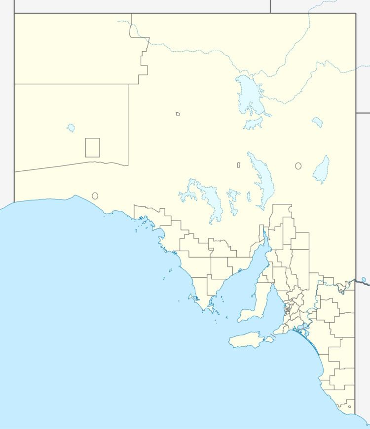
Emeroo is a locality in the Australian state of South Australia located about 295 kilometres (183 mi) north of the state capital of Adelaide and about 18 kilometres (11 mi) northwest of the centre of Port Augusta in the state’s Far North region.
Map of Emeroo SA 5713, Australia
Its boundaries were created in April 2013 and included portions removed from the adjoining localities of Quorn and Wami Kata. Its name is reported as being derived from the “Former Emeroo township.” Its western and southern boundaries approximately align with those for the cadastral unit of the County of Newcastle.
Emeroo extends in the west from a watercourse that extends north from and drains into Spencer Gulf to the western slopes of the Flinders Ranges in the east. The locality surrounds the top of Spencer Gulf including the ford known as Yorkey Crossing. The locality’s eastern side includes the western half of The Dutchmans Stern Conservation Park. The Marree railway line passes through the approximate middle of the locality from south to north while the track for both the Adelaide–Darwin railway and the Trans-Australian Railway passes through the locality close to its south-western corner.
As of 2012, the majority land use within the locality was pastoral farming, while the land on the east side of the locality, which is associated with the western slope of the Flinders Ranges, including The Dutchmans Stern Conservation Park is zoned for conservation.
The former Emeroo Station Ostrich Farm, which is listed on the South Australian Heritage Register, is located on the boundary with the locality of Wami Kata with the heritage place being located in both Emeroo and Wami Kata.
Emeroo is located within the federal division of Grey, the state electoral district of Giles and the unincorporated area of South Australia.