
Time zone EET (UTC+2) | Elevation 160 m (525 ft) Area code 0324 | |
 | ||
Elvanlı is a village in Mersin Province, Turkey.
Contents
- Map of ElvanlC4B1 ElvanlC4B1 Mahallesi 33730 Erdemli2FMersin Province Turkey
- Geography
- History
- Economy
- References
Map of Elvanl%C4%B1, Elvanl%C4%B1 Mahallesi, 33730 Erdemli%2FMersin Province, Turkey
Geography
Elvanlı is a part of Erdemli district which itself is a part of Mersin Province. Situated at 36°42′N 34°22′E it is 5 kilometres (3.1 mi) north of state road and 6 kilometres (3.7 mi) north of the Mediterranean Sea coast. Distance to Erdemli is 15 kilometres (9.3 mi) and to Mersin is 28 kilometres (17 mi). The altitude of the village is about 160 metres (520 ft). The population of the village was 2224 as of 2012. By this population it is more populous than most of other villages (and some towns) around.
History
The name of the village refers to a certain Elvan Bey who founded the village in the 14th century. Elvan Bey was a Turkmen leader and it is claimed that he was probably a member of Karamanids house which established the Beylik of Karaman. During Ottoman Empire era, Elvanlı was a seat of bucak (subcounty). But later on a nearby village Tömük, which was a former hamlet of Elvanlı, became a local center of attraction and Elvanlı partially lost its former importance.
Economy
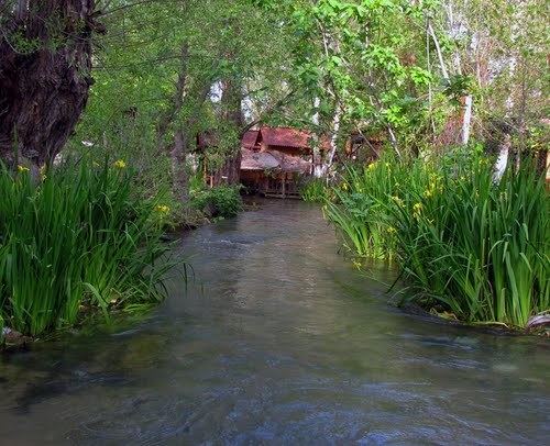
Elvanlı is one of the wealthier villages of Mersin Province. Several kinds of citrus fruit are produced in large quantities. The village is also famous for its picnic area called Dedekavak.