
Population 4,398 (2012) | ||
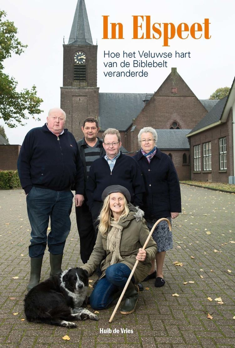 | ||
Elspeet is a village in the Netherlands, in the Veluwe region, in the municipality of Nunspeet, Gelderland, Netherlands. Elspeet is located on the N310 from Elburg to Arnhem. The village had 4,398 inhabitants in 2012.
Map of Elspeet, Netherlands
Elspeet is a conservative Protestant village, located on the Dutch Bible Belt. In the 2006 municipal elections, 70 percent of the local population voted for the Reformed Political Party (SGP). The three Christian parties in the elections (the Reformed Political Party, the Christian Union and the Christian Democratic Appeal) had a combined total of almost 90 percent of the votes.
Two miles south of this village on a wooded plot are found the buildings of the Doopsgezind Broederschapshuis Elspeet (Elspeet Mennonite Brotherhood House). Its first simple building was opened on 1 June 1925. In 1936 the Mennonite World Conference met here.
Landgoed Stakenberg (the Stakenburg Estate) is situated in fine countryside just outside the village of Elspeet