Governing body U.S. Forest Service Nearest city Highlands | Area 33.48 km² Established 1975 | |
 | ||
Location Management | ||
Backpacking in ellicott rock wilderness wmv
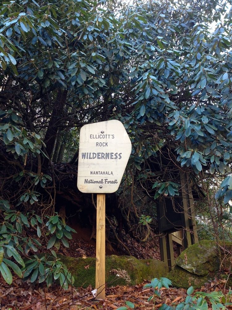
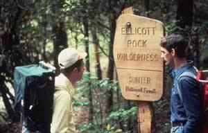
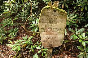
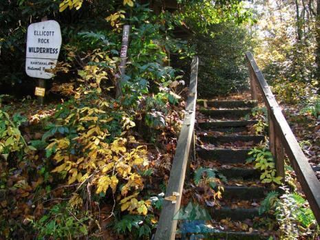
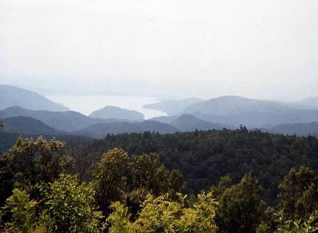
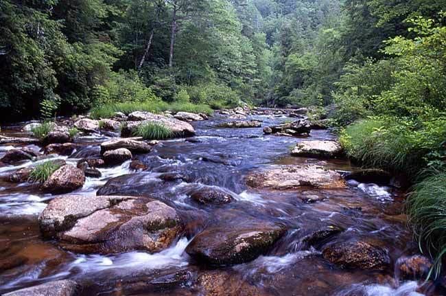
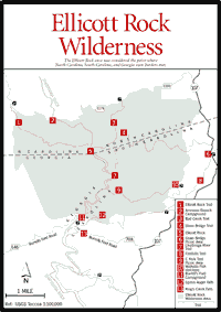
The Ellicott Rock Wilderness was designated in 1975 and currently consists of 8,274 acres (33.48 km2) surrounding the point at which Georgia, North Carolina, and South Carolina come together. It is the only wilderness that straddles three states. Approximately 2,021 acres (8.18 km2) are located in Georgia in the Chattahoochee National Forest, approximately 3,394 acres (13.74 km2) are located in North Carolina in the Nantahala National Forest, and approximately 2,859 acres (11.57 km2) are located in South Carolina in the Andrew Pickens Ranger District of the Sumter National Forest. Bisecting the Wilderness is the Chattooga River, a Wild and Scenic River. The Wilderness is managed by the United States Forest Service and is part of the National Wilderness Preservation System.
Contents
The Wilderness is named for “Ellicott's Rock,” a rock on the east bank of the Chattooga River on which surveyor Andrew Ellicott chiseled a mark in 1811 to determine the border between Georgia and North Carolina.
The highest elevation in the Georgia portion of the Ellicott Rock Wilderness is the 3,672-foot (1,119 m) summit of Glade Mountain, which is also the high point of the Wilderness. The Chattooga River drops from 2,381 feet (726 m) to 2,100 feet (640 m) as it flows through the Wilderness. Fork Mountain, elevation 3,294 feet, is the highest point in the South Carolina portion of the Elliott Rock Wilderness and is the second-highest summit in South Carolina.Fork Mountain is not the second highest mountain in South Carolina; that distinction lies with Hickory Nut Mountain at 3483 feet which is the highest mountain wholly within the state as Sassafrass Mountain has some of its base in North Carolina.
It was named to the National Register of Historical Places in 1973 - Object - #73001722.
Ellicott rock wilderness chattooga river