
Country United States Elevation 220 m Population 2,483 (2010) Area code 706 | Time zone Eastern (EST) (UTC-5) Zip code 31807 Local time Thursday 4:28 AM | |
 | ||
Weather 7°C, Wind S at 2 km/h, 63% Humidity | ||
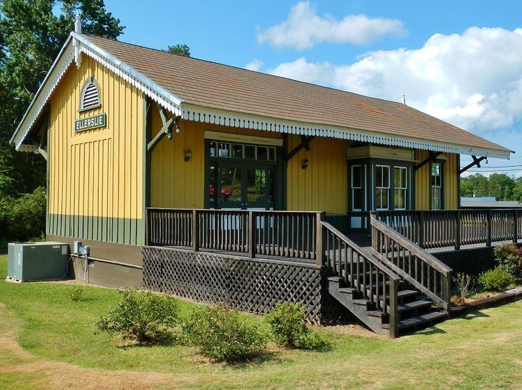
Ellerslie is an unincorporated community in Harris County, Georgia, United States. Ellerslie is a part of the Columbus, Georgia metropolitan area. As of the 2010 census, the population was 2,483.
Contents
Map of Ellerslie, GA 31807, USA
Geography
Ellerslie is located along Alternate U.S. Route 27 and Georgia State Route 85, which run northeast to southwest through the city, leading southwest 18 mi (29 km) to Columbus and northeast 6 mi (9.7 km) to Waverly Hall. The two highways meet Georgia State Route 315 in the city to form a very short concurrency in the city limits. Atlanta is 88 mi (142 km) by road to the northeast. Ellerslie is approximately 722 feet (220 meters) above sea level. Ellerslie is located north of the fall line that separates Georgia into the Piedmont region and the Coastal Plains.
Education
The community is home to one of the seven schools in the county: