
Quadrant SW Sector Southeast Area 158 ha Population 5,566 (2012) | Ward 12 Elevation 693 m Mayor Don Iveson | |
 | ||
Ellerslie is a residential neighbourhood in southeast Edmonton, Alberta, Canada. While City of Edmonton documents note that there are diverse stories related to Scottish settlers introducing the name Ellerslie, it is known that the name was applied to the local school district by 1895, and to the local post office in 1896, when it was still a rural area many kilometers south of the early boundaries of the recently (1892) incorporated Town of Edmonton.
Contents
Map of Ellerslie, Edmonton, AB, Canada
The Ellerslie neighbourhood includes the Wernerville country residential area, which is designated a special study area within the Ellerslie Area Structure Plan and is recognized as a locality by Statistics Canada.
The Ellerslie neighbourhood is bounded on the south by Ellerslie Road, on the north by the Anthony Henday Drive corridor, on the east by 66 Street, and on the west by 91 Street. Wernerville comprises the easternmost portion of the neighbourhood. Immediately north of the Anthony Henday Drive is the Mill Woods area of Edmonton and the neighbourhoods of Satoo and Menisa.
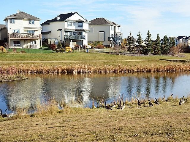
The most common type of residence in the neighbourhood is the single family dwelling. According to the 2005 municipal census, two out of every three residences (66%) were single-family dwellings. Row houses make up another one in five (20%) of residences followed by apartment style condominiums which make up 12% of all residences. The remaining 2% or residences were duplexes. Substantially all residences in Ellerslie are owner occupied.
Demographics
In the City of Edmonton's 2012 municipal census, Ellerslie had a population of 7003556600000000000♠5,566 living in 7003208700000000000♠2,087 dwellings, a 5.7% change from its 2009 population of 7003526600000000000♠5,266. With a land area of 1.58 km2 (0.61 sq mi), it had a population density of 7003352280000000000♠3,522.8 people/km2 in 2012.