
Quadrant NW Sector Southeast Elevation 691 m Population 2,544 (2012) | Ward 11 AreaCommunity Mill WoodsKnottwood Area 89 ha | |
 | ||
Menisa is a neighbourhood in south east Edmonton, Alberta, Canada located in Mill Woods. In the Cree language, Menisa means "berries".
Contents
Map of Menisa, Edmonton, AB, Canada
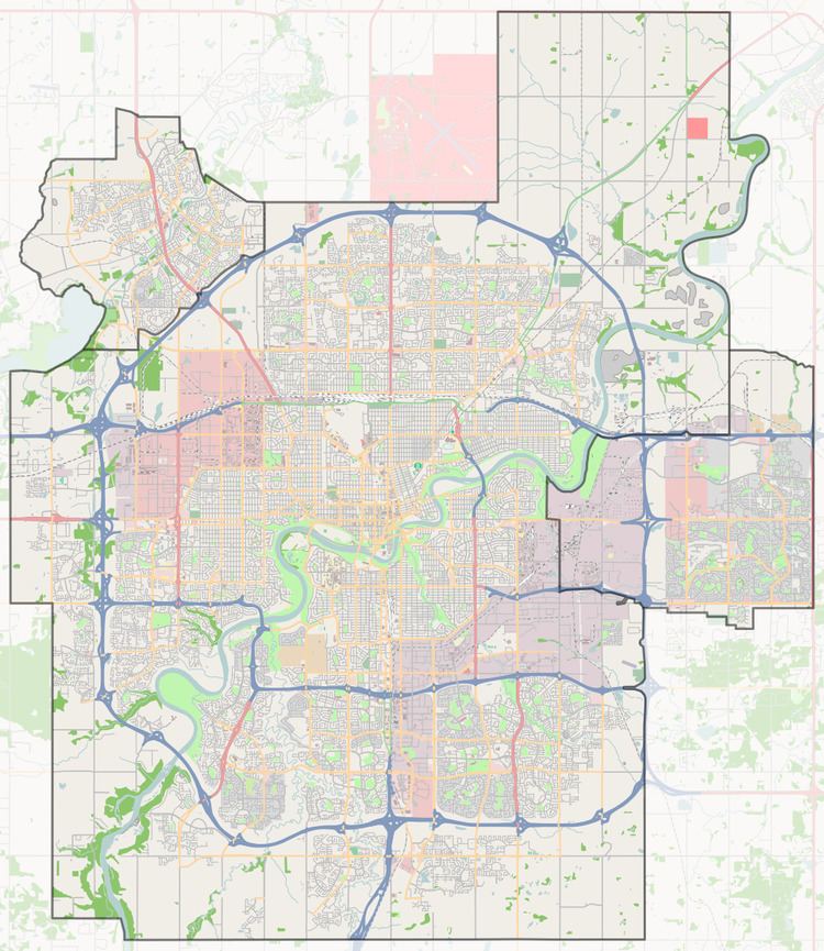
Menisa is bounded on the south by Anthony Henday Drive, on the north by Mill Woods Road, on the east by 66 Street, and on the west by 80 Street.
Residential development in Menisa began in 1976 and was nearly complete by 1980. The majority of dwellings in Menisa are single detached houses (83%) with a significant number of row houses (14%). Approximately seven out of eight dwellings are owner occupied.
Demographics
In the City of Edmonton's 2012 municipal census, Menisa had a population of 7003254400000000000♠2,544 living in 7002919000000000000♠919 dwellings, a -5.3% change from its 2009 population of 7003268500000000000♠2,685. With a land area of 0.89 km2 (0.34 sq mi), it had a population density of 7003285840000000000♠2,858.4 people/km2 in 2012.
Shopping and services
Menisa Shopping Centre is located in the neighbourhood. In addition to Menisa Shopping Centre, residents have access to shopping at Mill Woods Town Centre, a mall located to the north of the neighbourhood along 66 Street.
The Grey Nuns Community Hospital and the Edmonton Police Service's South East Division Station are both located a bit further north in the neighbourhood of Tawa.