
Quadrant NW Sector Southeast Elevation 688 m Population 3,391 (2012) | Ward 11 AreaCommunity Mill WoodsKnottwood Area 131 ha | |
 | ||
Satoo is a residential neighbourhood in the Mill Woods area of the City of Edmonton, Alberta, Canada. Satoo is one of three neighbourhoods in the Mill Woods community of Knottwood.
Contents
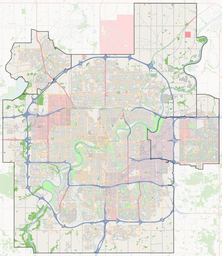
Map of Satoo, Edmonton, AB, Canada
It is bounded on the north by 23 Avenue, on the south by Anthony Henday Drive, on the west by 91 Street, and on the east by 80 Street and Mill Woods Road West.
Satoo is named for a Cree chief, Satoo. Between 1876 and 1891, the Papachase Indian Reserve was located in the Mill Woods area.
Demographics
In the City of Edmonton's 2012 municipal census, Satoo had a population of 7003339100000000000♠3,391 living in 7003126500000000000♠1,265 dwellings, a -2.8% change from its 2009 population of 7003349000000000000♠3,490. With a land area of 1.31 km2 (0.51 sq mi), it had a population density of 7003258850000000000♠2,588.5 people/km2 in 2012.
Residential development
The neighbourhood is popular with young families, with roughly three out of ten residents in the neighbourhood being under the age of 20. Just under one in ten residents is over the age of 65, the age traditionally considered retirement age.
According to the 2005 Municipal Census, approximately three out of four residences were single-family dwelling with the remainder being a mixture of duplexes and row houses. Most residences were built during the 1970s. Roughly four out of every five private dwellings are owner-occupied with the remainder being rented. The average number of persons per household is 3.1.
Dan Knott Junior High School and Satoo Elementary School, both operated by the Edmonton Public School System are located in Satoo.