
 | ||
Points of interest Wesleyan Grove, Gay Head Light Islands Cuttyhunk Island, Naushon Island, Martha's Vineyard Similar | ||
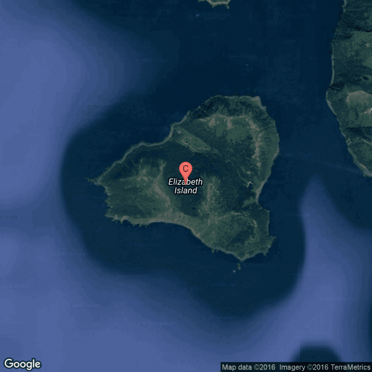
The Elizabeth Islands are a chain of small islands extending southwest from the southern coast of Cape Cod, Massachusetts in the United States. They are located at the outer edge of Buzzards Bay, north of Martha's Vineyard from which they are separated by Vineyard Sound, and constitute the town of Gosnold, Massachusetts in Dukes County. All of the Elizabeth Islands except Cuttyhunk and Penikese are privately owned by the Forbes family.
Contents
- Map of Elizabeth Islands Gosnold MA 02543 USA
- Elizabeth islands 2008 jersey cape guide
- Named islandsEdit
- Named channels and harborsEdit
- References
Map of Elizabeth Islands, Gosnold, MA 02543, USA
The islands were claimed by England and named after Queen Elizabeth I. In 1641, Thomas Mayhew the Elder of Watertown, Massachusetts, bought the islands (along with Nantucket and Martha's Vineyard) from William Alexander, the Earl of Sterling. The first known European inhabitant was Francis Usselton, who was banished for making secret trades with the local Indians without consent from the governor at the time. Before the creation of the Province of Massachusetts Bay in 1691, the islands were part of the extinct Dukes County, New York. The total land area of the islands is 34.55 km² (13.34 sq mi) and there was a permanent population of 75 persons as of the 2010 census.
Elizabeth islands 2008 jersey cape guide
Named islandsEdit
Stretching south-west from land's end at Falmouth, Massachusetts, the islands are:
Named channels and harborsEdit
Channels with strong tidal currents, known locally as holes, separate the islands from each other and the mainland. Currents of up to 6 knots (11 km/h) are driven by the different sizes and filling rates of Vineyard Sound to the southeast and Buzzards Bay to the northwest. At high tide, water flows from Buzzards Bay to the Vineyard Sound. Near mid-tide the water stops and reverses, filling the Bay at low tide.
Listed in order away from Falmouth, the named channels are:
Cuttyhunk Harbor is sheltered on its east by Nashawena Island on its west by Cuttyhunk Island and on its north by Penikese Island.