Easiest route trailless bushwhack Prominence 628 m | Elevation 1,150 m Parent range Appalachian Mountains | |
 | ||
Listing New England Fifty Finest #40New England 100 Highest #98 Topo map USGS Metallak Mountain, Maine Similar East Kennebago Mountain, Baldpate Mountain, Saddleback Horn, Boundary Peak, Mount Coe | ||
Elephant Mountain is a mountain located in Township C, Oxford County, Maine. Its northeastern end is in Township D, Franklin County. Elephant Mountain is flanked to the northeast by Bemis Mountain, and to the southeast by Old Blue Mountain.
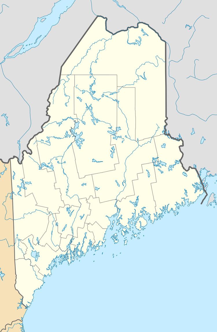
Map of Elephant Mountain, North Oxford, ME 04275, USA
The Appalachian Trail, a 2,170 mi (3,490 km) National Scenic Trail from Georgia to Maine, runs along the base of Elephant Mountain, 700 ft (210 m) below the summit.
Elephant Mountain stands in the watershed of the Androscoggin River, which drains into Merrymeeting Bay, the estuary of the Kennebec River, and then into the Gulf of Maine. The northwest side of the mountain drains into Metallak Brook, then into Upper and Lower Richardson lakes, the Rapid River, and Umbagog Lake, the source of the Androscoggin. The southwest side of Elephant Mountain drains into Birch Brook and Clearwater Brook, then into Black Brook, and the Ellis River, and the Androscoggin. The southeast side of the mountain drains into Mountain Brook, then into Berdeen Stream, and the Swift River, another tributary of the Androscoggin.
