
Country Algeria Elevation 90 m (300 ft) Area 1,352 km² | Time zone CET (UTC+1) Population 6,102 (2008) | |
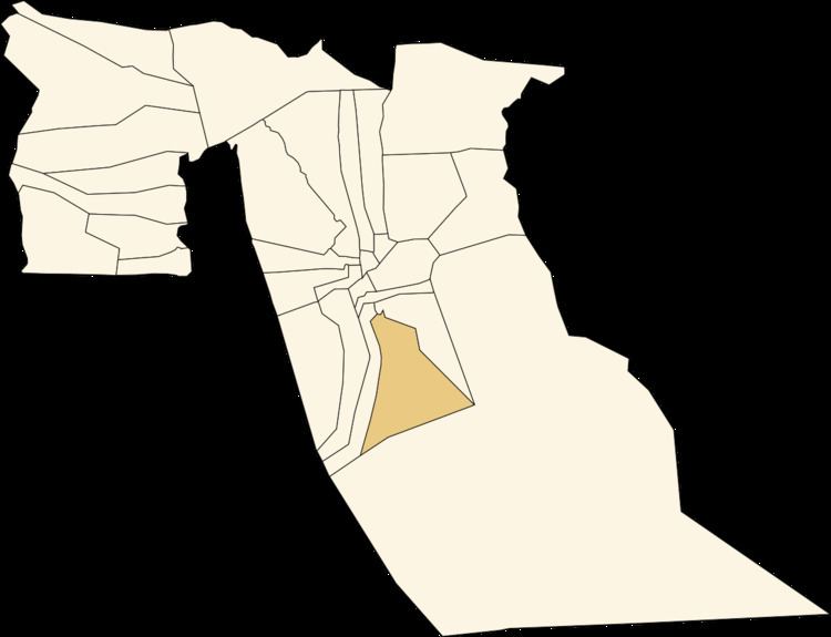 | ||
El Ogla (Arabic: اﻟﻌﻘﻠﺔ) is a town and commune in Robbah District, El Oued Province, Algeria. According to the 2008 census it has a population of 6,102, up from 4,715 in 1998, with an annual growth rate of 2.7%.
Contents
Map of El Ogla, Algeria
Climate
El Ogla has a hot desert climate (Köppen climate classification BWh), with very hot summers and mild winters. Rainfall is light and sporadic, and summers are particularly dry.
Transportation
El Olga is 15 kilometres (9.3 mi) southeast of the provincial capital El Oued. It is also connected by local roads to the towns of Robbah and Nakhla to the north.
Education
3.4% of the population has a tertiary education, and another 11.2% has completed secondary education. The overall literacy rate is 71.9%, and is 79.8% among males and 63.9% among females.
Localities
The commune of El Ogla is composed of three localities: