
Country Algeria Elevation 84 m (276 ft) Area 700 km² | Time zone CET (UTC+1) Population 12,652 (2008) | |
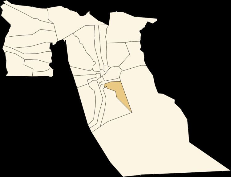 | ||
Nakhla (Arabic: اﻟﻨﺨﻠﺔ) (sometimes written Nekhla) is a town and commune in Robbah District, El Oued Province, Algeria. According to the 2008 census it has a population of 12,652, up from 9,491 in 1998, with an annual growth rate of 3.0%.
Contents
Map of Nakhla, Algeria
Climate
Nakhla has a hot desert climate (Köppen climate classification BWh), with very hot summers and mild winters. Rainfall is light and sporadic, and summers are particularly dry.
Transportation
Nakhla is 13 kilometres (8 mi) southeast of the provincial capital El Oued, to which it is connected by a local road. It is also connected to Robbah to the west, El Ogla to the south, and Trifaoui to the north.
Education
4.9% of the population has a tertiary education, and another 12.9% has completed secondary education. The overall literacy rate is 73.8%, and is 81.4% among males and 65.9% among females.
Localities
The commune of Nakhla is composed of three localities: