
Time zone EST (UTC+2) | Governorate Port Said Local time Wednesday 2:46 AM | |
 | ||
Weather 12°C, Wind SE at 5 km/h, 56% Humidity | ||
Bent el hiba
el-Hiba (alt. el-Hibeh; Arabic الحيبة) is the modern name of the ancient Egyptian city of Tayu-djayet (t3yw-ḏ3yt), an ancient nickname meaning "their walls" in reference to the massive enclosure walls built on the site. In Coptic, it was known as Teudjo, and during the Graeco-Roman Period, it was called Ankyronpolis. In antiquity, the city was located in the 18th Upper Egyptian nome, and today it is found in the Bani Suwayf governorate.
Contents
- Bent el hiba
- Map of Al Hibah Al Heibah Al Fashn Beni Suef Governorate Egypt
- El meskoune el hiba
- History
- Today
- References
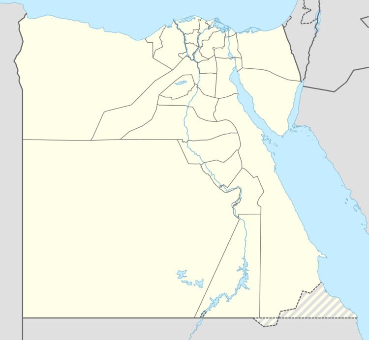
Map of Al Hibah, Al Heibah, Al Fashn, Beni Suef Governorate, Egypt
El meskoune el hiba
History
From the late 20th Dynasty to the 22nd Dynasty, Tayu-djayet was a frontier town, marking the division of the country between the High Priests of Amun at Thebes and the kings of Egypt at Tanis. A massive enclosure wall was built at the site, with bricks stamped with the names of the High Priests Pinedjem I and Menkheperre. Earlier, the High Priest Herihor also lived and operated from al-Hibah. During the 22nd Dynasty, king Shoshenq I built a temple dedicated to "Amun-Great-of-Roarings" at the site, complete with a topographical list of cities captured during his "First Campaign of Victory" in Palestine; the temple is also decorated by his son, Osorkon I. The ancient settlement is at 28°47′14″N 30°55′16″E a little to the North of the modern town.
Today
Since 2001, El Hibeh has been the focus of ongoing excavations by a team of U.C. Berkeley archaeologists. However, due to instability as a result of the 2011 Egyptian Revolution, looters have been allowed to systematically plunder the site, digging hundreds of pits, exposing tombs, destroying walls, and leaving human remains strewn about the grounds.