Country Algeria Time zone CET (UTC+1) Population 59,514 (2008) | Elevation 310 m (1,020 ft) Area 2,900 km² | |
 | ||
District El Guerrara District (coextensive) | ||
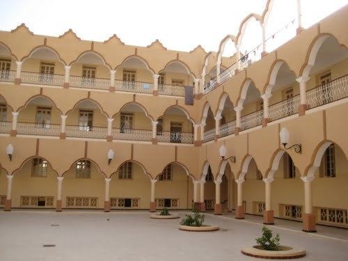
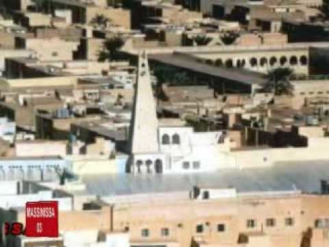
El guerrara
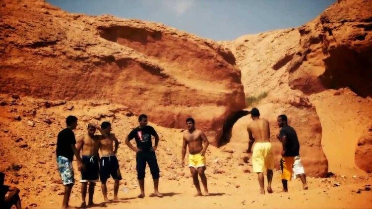
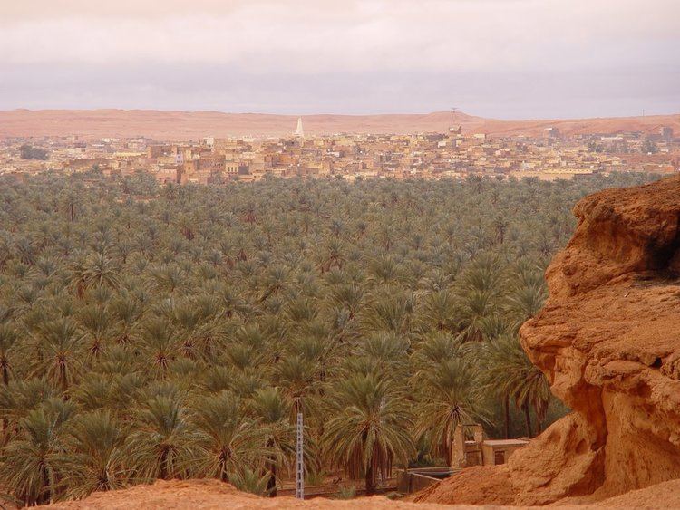
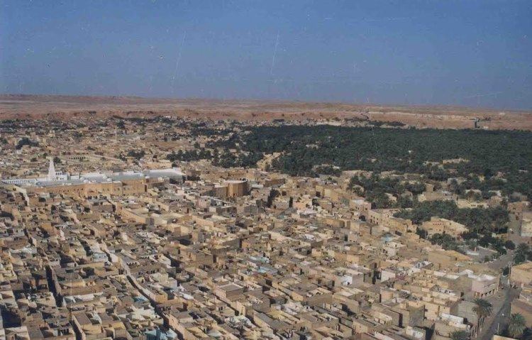
El Guerrara (Arabic: القرارة) (also written al-Qarārah) is a town and commune, coextensive with El Guerrara District, in Ghardaïa Province, Algeria. According to the 2008 census it has a population of 59,514, up from 48,313 in 1998, with an annual growth rate of 2.1%.
Contents
Climate
El Guerrara has a hot desert climate (Köppen climate classification BWh), with very hot summers and mild winters, and very little precipitation throughout the year.
Transportation
El Guerrara is on the W33, a regional road between Berriane on the N1 to the west, and the N3 about halfway between Touggourt and Ouargla to the east.
Education
3.9% of the population has a tertiary education (the equal lowest in the province), and another 19.1% has completed secondary education. The overall literacy rate is 82.9%, and is 88.1% among males and 77.5% among females.
Localities
The commune of El Guerrara is composed of three localities: