
District Ried im Innkreis Area codes 07752, 07751 Elevation 419 m Population 722 (1 Apr 2009) | Time zone CET (UTC+1) Area 8.6 km² Local time Tuesday 8:47 PM | |
 | ||
Postal codes 4970, 4971, 4973 und 4941 Weather 3°C, Wind SW at 8 km/h, 91% Humidity | ||
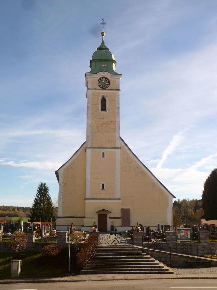
Eitzing is a municipality in the district of Ried im Innkreis in the Austrian state of Upper Austria.
Contents
Map of Gemeinde Eitzing, Austria
Geography
Eitzing is situated 419 m above sea level in the Innviertel. Its dimensions are 4,6 km from the North to the South and 4,3 km from the West to the East. The complete area accounts for 8,62 km². 13,8% of the land is afforested, 77% is used agriculturally. Parts of the municipality are Amerika, Bankham, Ertlberg, Hofing, Kirchberg, Obereitzing, Probenzing, Sausack, Untereitzing, Ursprung and Wöppelhub.
References
Eitzing Wikipedia(Text) CC BY-SA