
Gaelic name Eileanan Iasgaich Mòr OS grid reference NF789184 Highest elevation 20 m Area 50 ha | Meaning of name fishing island Area rank 199= Island group Outer Hebrides Lieutenancy area Outer Hebrides | |
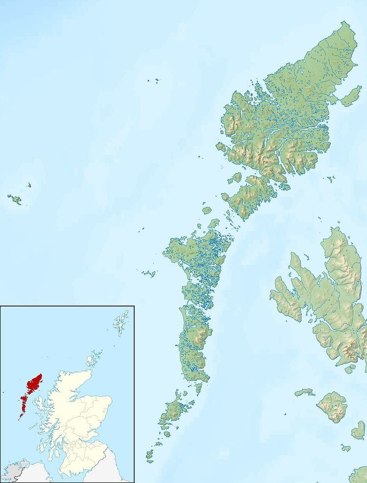 | ||
Na h-Eileanan Iasgaich comprise a small uninhabited archipelago in Loch Boisdale, in the south east of the island of South Uist, in the Outer Hebrides, Scotland. The individual islands are separated from one another at high tide, but connected to one another at low tide, (although not to their much larger neighbour of South Uist). They are around 50 ha in extent and over 20m at their highest point. Their boundaries are ill defined.
Contents
Map of Eileanan Iasgaich, United Kingdom
Geography and geology
The islands have a thin soil and a Lewisian gneiss bedrock.
Their name means "fishing islands" in Scottish Gaelic because they increase greatly in size at low tide, creating a number of fish traps and homes for edible crustaceans.
There are five main islands in the group -
References
Eileanan Iasgaich Wikipedia(Text) CC BY-SA