
Admin. region Niederbayern Time zone CET/CEST (UTC+1/+2) Area 44.5 km² Local time Tuesday 8:55 PM Number of airports 1 | Postal codes 84307 8330,8331 Population 12,837 (31 Dec 2008) Dialling code 08721 Administrative region Lower Bavaria | |
 | ||
Weather 3°C, Wind W at 6 km/h, 93% Humidity | ||
Geographical location
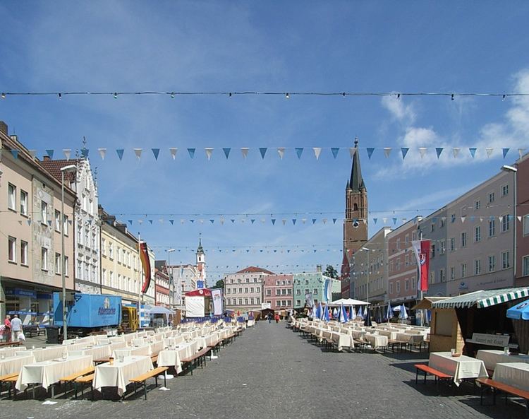
Eggenfelden is located in the gentle valley of the Rott at the intersection of B 20 with the B 388 and the beginning of the B 588 . The city has two railway stations on the railway Passau - Neumarkt- Sankt Veit as well as an airfield (airfield Eggenfelden) . Eggenfelden is located about 56 km southeast of Landshut , 60 km south of Straubing , 70 km south-west of Passau , 84 kilometers north of Salzburg and 110 kilometers east of Munich.
Contents
- Geographical location
- Communal
- Mayors
- Notable people
- Sons and daughters of the city
- Other people related to Eggenfelden
- References
Communal
The municipality Eggenfelden has 119 officially named Stadtteile:
Mayors
Notable people
Sons and daughters of the city
Other people related to Eggenfelden
References
Eggenfelden Wikipedia(Text) CC BY-SA