Length 14.4 km (8.95 mi) Coastline 53.5 km (33.24 mi) | Area 115.8 km (44.7 sq mi) Width 8.6 km (5.34 mi) Highest elevation 231 m (758 ft) | |
 | ||
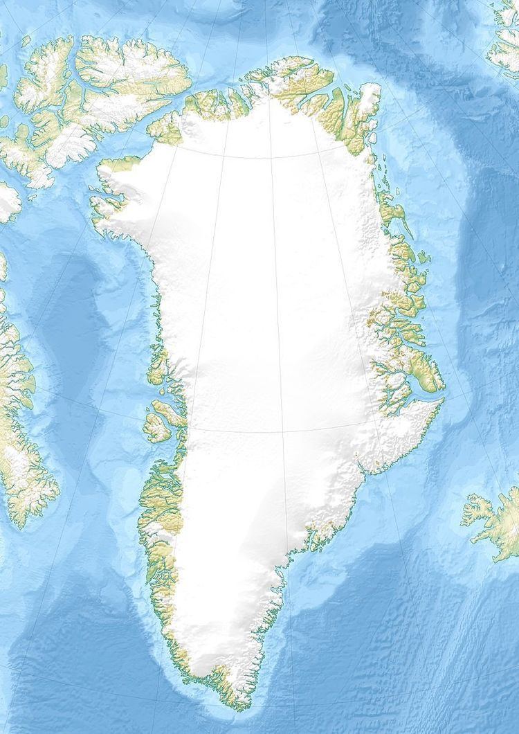
Edward Island (Danish: Edvard Ø) is an uninhabited island of the Greenland Sea, Greenland. The island is unglaciated.
Contents
Map of Prince Edward Island, Canada
Geography
Edward Island is a coastal island located east of Queen Louise Land, off Cape Stop, east of Borge Fjord and north of Godfred Hansen Island in the Dove Bay, northeastern Greenland. The island has an area of 115.8 km2 (44.7 sq mi) and a shoreline of 53.5 km (33.2 mi).
References
Edward Island Wikipedia(Text) CC BY-SA
