
Country United States Time zone CST (UTC-6) Area 143.2 km² Population 482 (2010) | Established November 4, 1856 Elevation 198 m Local time Saturday 2:08 AM | |
 | ||
ZIP codes 61917, 61924, 61940, 61944 Weather -3°C, Wind N at 11 km/h, 41% Humidity | ||
Edgar Township is one of fifteen townships in Edgar County, Illinois, USA. As of the 2010 census, its population was 482 and it contained 210 housing units. Previously named Bloomfield Township, it received its current name on May 9, 1857.
Contents
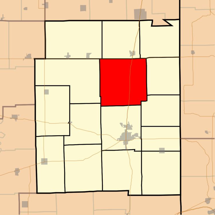
- Map of Edgar Township IL USA
- Geography
- Unincorporated towns
- Extinct towns
- Cemeteries
- Transportation
- Education
- Political districts
- References
Map of Edgar Township, IL, USA
Geography
The township is rural, with no incorporated towns or villages. Several unincorporated hamlets (Edgar, Horace, and Bloomfield) are located in the township. The townhouse is located at Edgar. According to the 2010 census, it has a total area of 55.31 square miles (143.3 km2), all land.
Unincorporated towns
Extinct towns
Cemeteries
The township contains these six cemeteries: Bloomfield, Cherry Point, Franklin, Hoult, McKee and Scott.
Transportation
The township is served by several major state and federal highways. US Route 36 forms the northern boundary of the township, while Illinois Route 1 and US Route 150 cuts a north-south path through the township. The Edgar County Airport is located in the southeast part of the township. CSX operates a north-south length of railroad track that connects Chrisman and Paris.
Education
The township is served by three school districts: Shiloh Community Unit School District #1 [1], Chrisman-Scottland Community Unit School District #6 [2], and Crestwood Community Unit School District #4 [3].