
Elevation 331 m Local time Saturday 1:17 AM | GNIS feature ID 0467763 Area 93.67 km² Population 279 (2000) | |
 | ||
Weather -6°C, Wind NE at 14 km/h, 86% Humidity | ||
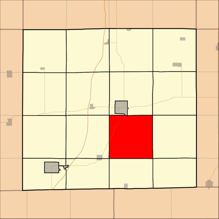
Eden Township is a township in Decatur County, Iowa, USA. As of the 2000 census, its population was 279.
Contents
- Map of Eden IA 50144 USA
- Geography
- Unincorporated towns
- Adjacent townships
- Cemeteries
- Major highways
- Climate
- References
Map of Eden, IA 50144, USA
Geography
Eden Township covers an area of 36.17 square miles (93.67 square kilometers); of this, 0.03 square miles (0.09 square kilometers) or 0.1 percent is water. The streams of Britton Branch and McGruder Creek run through this township.
Unincorporated towns
(This list is based on USGS data and may include former settlements.)
Adjacent townships
Cemeteries
The township contains eight cemeteries: Bethel, Campbell, Chastain, County Home, Hatfield, Manchester, Meek and Mount Tabor.
Major highways
Climate
This region has significant seasonal temperature differences, going from warm summers to very cold winters. There is precipitation year-round, and snowfall occurs in almost areas. Most summer rainfall occurs during thunderstorms and a very occasional tropical system. Area is only classified as humid because it is not dry enough to be classified as semi-arid or arid.