
Elevation 322 m Local time Saturday 1:31 AM | GNIS feature ID 0468044 Area 94.35 km² Population 169 (2000) | |
 | ||
Weather -6°C, Wind NE at 13 km/h, 88% Humidity | ||
High Point Township is a township in Decatur County, Iowa, USA. As of the 2000 census, its population was 169.
Contents
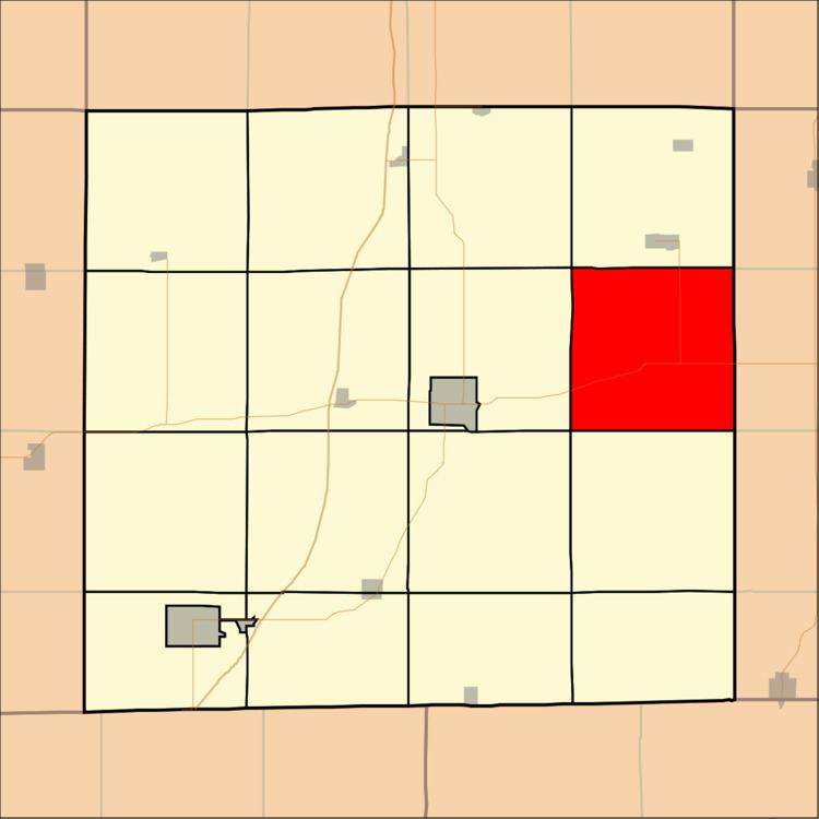
Map of High Point, IA, USA
Geography
High Point Township covers an area of 36.43 square miles (94.37 square kilometers); of this, 0.02 square miles (0.04 square kilometers) or 0.04 percent is water. The streams of Cobbville Creek, Conner Branch and Jonathan Creek run through this township.
Unincorporated towns
(This list is based on USGS data and may include former settlements.)
Adjacent townships
Cemeteries
The township contains three cemeteries: High Point, McCullough and Trullinger.
References
High Point Township, Decatur County, Iowa Wikipedia(Text) CC BY-SA