
Elevation 336 m Local time Sunday 1:59 AM | GNIS feature ID 0467689 Area 92.64 km² Population 425 (2000) | |
 | ||
Weather 11°C, Wind S at 19 km/h, 49% Humidity | ||
Decatur Township is a township in Decatur County, Iowa, USA. As of the 2000 census, its population was 425.
Contents
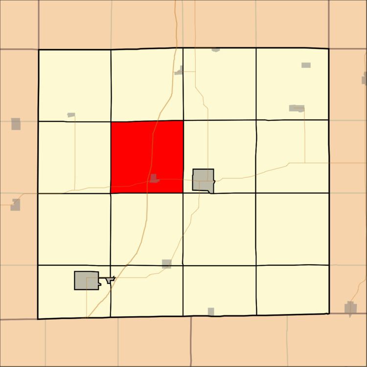
Map of Decatur, IA, USA
Geography
Decatur Township covers an area of 35.77 square miles (92.65 square kilometers); of this, 0.14 square miles (0.35 square kilometers) or 0.38 percent is water. The streams of Long Creek and Marks Branch run through this township.
Cities and towns
Adjacent townships
Cemeteries
The township contains six cemeteries: Cash, Decatur City, Palenstine, Shy, Waller and Woodmansee.
Major highways
References
Decatur Township, Decatur County, Iowa Wikipedia(Text) CC BY-SA