
Elevation 578 m (1,896 ft) | Microregion Vale do Rio dos Bois Time zone BRT/BRST (UTC-3/-2) | |
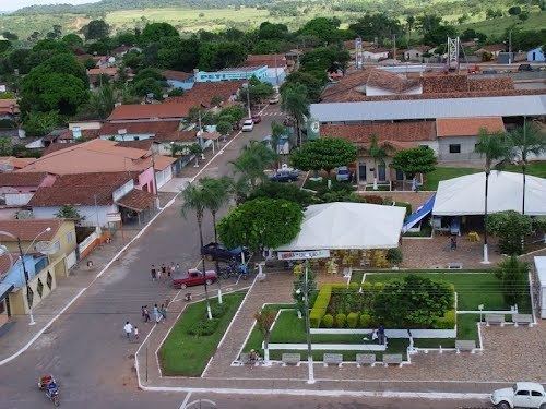 | ||
Edealina is a municipality in central-south Goiás state, Brazil.
Contents
- Map of Edealina State of GoiC3A1s Brazil
- Location
- Political Data
- Demographic Data
- Economy
- Economic Data
- Education and Health
- References
Map of Edealina - State of Goi%C3%A1s, Brazil
Location
Edealina has municipal boundaries with Edéia, Pontalina, Indiara, and Cezarina The important Rio dos Bois forms part of the municipal boundary.
Highway communications with Goiânia are made by BR-060 / Guapó / Cezarina / Indiara / GO-320 / Edéia / GO-215. Sepin
Political Data
Demographic Data
Economy
The economy is based on soybeans, corn, rice, beans, tomatoes and on cattle raising. In some areas pivot sprinklers are being used. In the industrial sector there is a dairy, and several brickworks.
Economic Data
Agricultural Data for 2006
Education and Health
Ranking on the Municipal Human Development Index
For the complete list see Frigoletto.com
History Edealina was first created as a district in 1976 in the municipality of Edéia. In 1988 it was dismembered from Edéia and made a municipality. The origin of the name is unknown.