
Country United States Time zone Eastern (EST) (UTC-5) Zip code 40505 Population 4,659 (2000) | Area 4.11 km² Local time Friday 9:24 AM Area code 859 | |
 | ||
Weather 3°C, Wind N at 24 km/h, 52% Humidity | ||
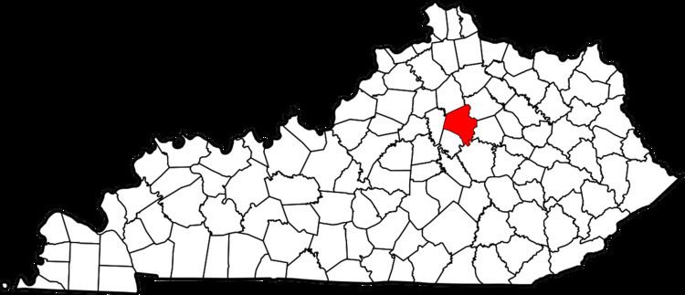
Eastland is a neighborhood in northeast Lexington, Kentucky, United States. Its boundaries are I-75 to the east, New Circle Road to the west, Winchester Road to the south, and abandoned railroad tracks to the north.
Contents
Map of Eastland, Lexington, KY 40505, USA
Neighborhood statistics
References
Eastland, Lexington Wikipedia(Text) CC BY-SA