
Prominence 280 m | Elevation 3,842 m | |
 | ||
Similar Wind River Range, Mount Helen, War Bonnet Peak, Wind River Peak, Mount Woodrow Wilson | ||
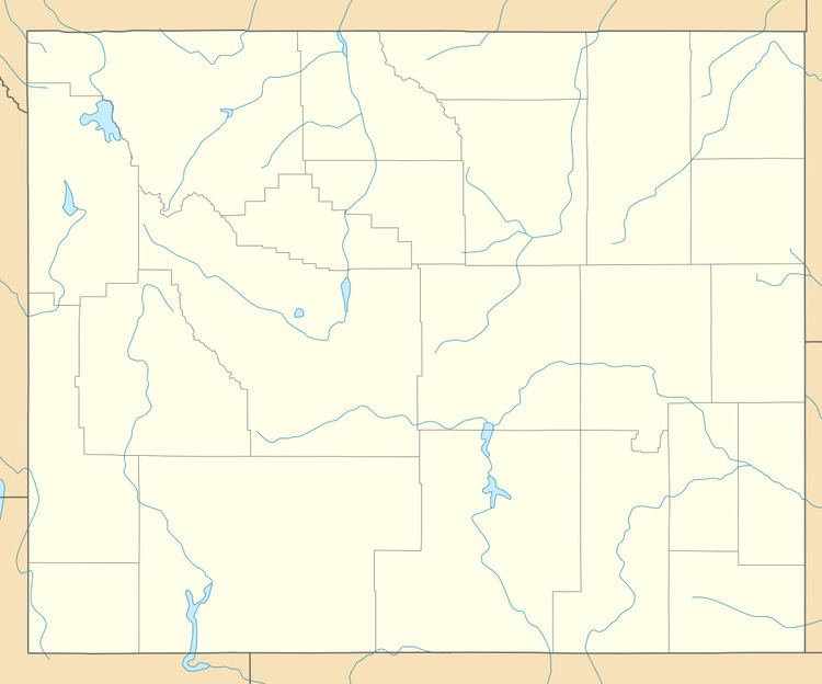
East Temple Peak (exact height range is somewhere between 12,605 to 12,645 feet (3,842 to 3,854 m)) is located in the southern Wind River Range in the U.S. state of Wyoming. Temple Peak is a little over 1 mile (1.6 km) northeast of Temple Peak and 1.5 mi (2.4 km) west of Wind River Peak. A small glacier clings to the northeast slopes of East Temple Peak. East Temple Peak is in the Bridger Wilderness of Bridger-Teton National Forest.
Map of East Temple Peak, Wyoming 82923, USA
References
East Temple Peak Wikipedia(Text) CC BY-SA