
ZIP code 05651 Elevation 222 m Population 80 (2010) | Time zone Eastern (EST) (UTC-5) Area code(s) 802 Area 25 ha | |
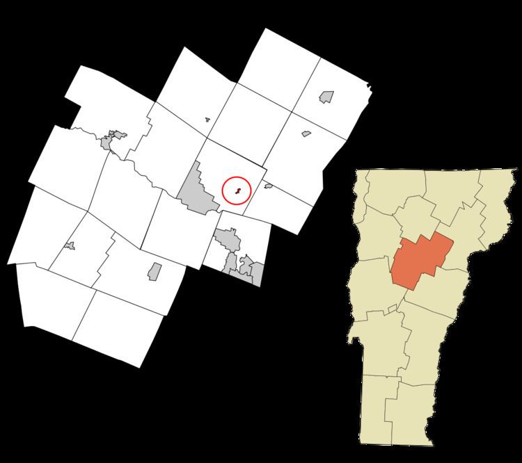 | ||
East Montpelier is a census-designated place (CDP) comprising the central village of the town of East Montpelier, Washington County, Vermont, United States. The population of the CDP was 80 at the 2010 census.
Geography
According to the United States Census Bureau, the East Montpelier CDP has a total area of 0.097 square miles (0.25 km2), of which 0.093 square miles (0.24 km2) is land and 0.004 square miles (0.01 km2), or 5.21%, is water. East Montpelier is located along U.S. Route 2, 7 miles (11 km) east of the center of Montpelier, the state capital, and 31 miles (50 km) west of St. Johnsbury. Vermont Route 14 also passes through the village, leading north to Hardwick and south to Barre.
East Montpelier is located on the north bank of the Winooski River.