
 | ||
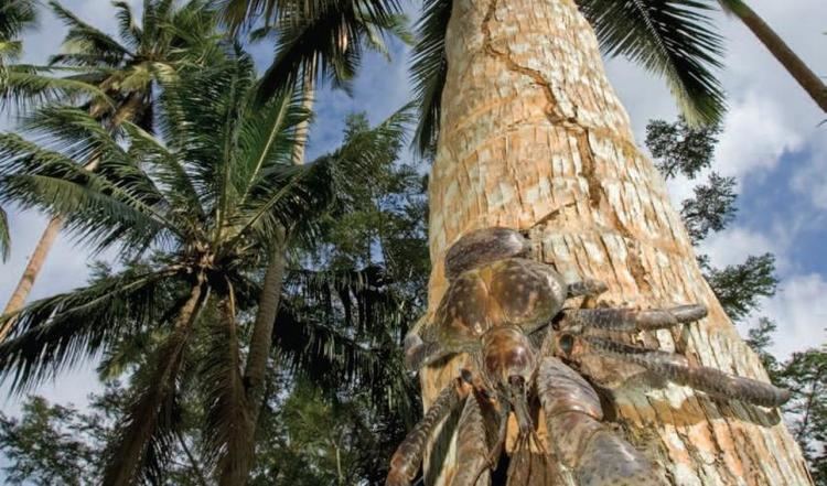
The East Melanesian Islands, also known as the Solomons-Vanuatu-Bismarck moist forests, is a biogeographic region notable for its unique flora and fauna and species richness. The region is designated a biodiversity hotspot by Conservation International (CI), and one of the outstanding Global 200 ecoregions by the World Wide Fund for Nature (WWF). As defined by CI, the hotspot lies east and northeast of New Guinea and encompasses some 1,600 islands with a land area of nearly 100,000 km², including the Bismarck Archipelago, Admiralty Islands, Solomon Islands, and the islands of Vanuatu. Politically, the hotspot includes parts of Papua New Guinea (the Bismarck Archipelago, Admiralty Islands, and Bougainville), and all of the Solomon Islands and Vanuatu.
This hotspot includes a number of ecoregions that make up the northeastern portion of the Australasia ecozone. The East Melanesian Islands have many plants and some animals whose ancestors arrived from neighboring New Guinea and New Caledonia, but differ from those islands in that they were never joined to a continent.