
ZIP code 03826 Elevation 78 m | Time zone Eastern (EST) (UTC-5) Area code(s) 603 Local time Friday 12:58 AM | |
 | ||
Weather 0°C, Wind W at 14 km/h, 41% Humidity Restaurants Pasta Loft Restaurant, Lobster Q, Commod Grill, Christinas Country Cafe, Tuscany Oven | ||
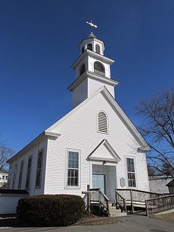
East Hampstead is an unincorporated community in the town of Hampstead in Rockingham County, New Hampshire, United States.
Map of East Hampstead, Hampstead, NH, USA
It is located near the northeast corner of the town of Hampstead, at the intersection of New Hampshire Route 111 and Route 121A. Route 111 connects Salem to the southwest with Kingston to the northeast, while Route 121A is a local road which connects with Sandown to the northwest and Plaistow to the southeast.
East Hampstead has a separate ZIP code (03826) from the rest of the town of Hampstead.
References
East Hampstead, New Hampshire Wikipedia(Text) CC BY-SA