
Country United States County Rockingham Time zone Eastern (UTC-5) Elevation 96 m Zip code 03841 Local time Wednesday 11:53 AM | Incorporated 1749 FIPS code 33-32900 Area 36.3 km² Population 8,523 (2010) Area code 603 | |
 | ||
Weather -4°C, Wind W at 19 km/h, 55% Humidity | ||
Hampstead new hampshire real estate homes 6 victoria lane
Hampstead is a town in Rockingham County, New Hampshire, United States. The population was 8,523 at the 2010 census. Hampstead, which includes the village of East Hampstead, is home to a portion of the Rockingham Recreational Trail.
Contents
- Hampstead new hampshire real estate homes 6 victoria lane
- Map of Hampstead NH USA
- History
- Geography
- Demographics
- Private schools
- Public schools
- References
Map of Hampstead, NH, USA
History
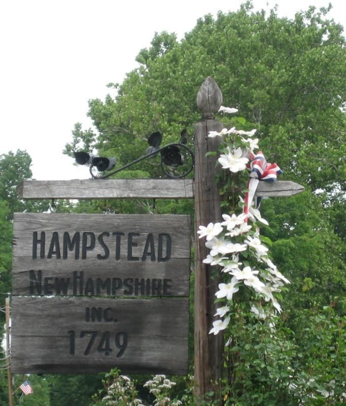
Once part of Haverhill and Amesbury, Massachusetts settled in 1640, this town was formed as a result of the 1739 decision fixing the boundary line between Massachusetts and New Hampshire. It was originally known as "Timberlane Parish" because of the heavy growth of native trees. The town would be incorporated in 1749 by Colonial Governor Benning Wentworth, who renamed it after Hampstead, England, the residence of William Pitt, a close friend.
Geography
According to the United States Census Bureau, the town has a total area of 14.0 square miles (36 km2), of which 13.3 sq mi (34 km2) is land and 0.7 sq mi (1.8 km2) is water, comprising 4.93% of the town. Island Pond is in the west, with Angle and Wash ponds in the north. The highest point in Hampstead is greater than 460 feet (140 m) above sea level at the town's northwestern corner, near the eastern knob of Butman Hill. Hampstead lies mostly within the Merrimack River watershed, though the northern slope of Butman Hill drains into the Piscataqua River (Coastal) watershed. Hampstead is home to Camp Tel Noar, an overnight summer camp on Wash Pond (Sunset Lake).
Demographics
As of the census of 2000, there were 8,297 people, 3,044 households, and 2,279 families residing in the town. The population density was 623.0 people per square mile (240.5/km²). There were 3,276 housing units at an average density of 246.0 per square mile (95.0/km²). The racial makeup of the town was 98.47% White, 0.23% African American, 0.08% Native American, 0.54% Asian, 0.05% Pacific Islander, 0.16% from other races, and 0.47% from two or more races. Hispanic or Latino of any race were 0.78% of the population.
There were 3,044 households out of which 41.1% had children under the age of 18 living with them, 66.2% were married couples living together, 6.0% had a female householder with no husband present, and 25.1% were non-families. 20.7% of all households were made up of individuals and 6.1% had someone living alone who was 65 years of age or older. The average household size was 2.72 and the average family size was 3.19.
In the town, the population was spread out with 28.9% under the age of 18, 5.1% from 18 to 24, 31.0% from 25 to 44, 25.6% from 45 to 64, and 9.3% who were 65 years of age or older. The median age was 38 years. For every 100 females there were 98.4 males. For every 100 females age 18 and over, there were 95.7 males.
The median income for a household in the town was $68,533, and the median income for a family was $79,114. Males had a median income of $56,625 versus $31,449 for females. The per capita income for the town was $29,195. About 2.4% of families and 3.8% of the population were below the poverty line, including 6.3% of those under age 18 and 3.7% of those age 65 or over.