
- elevation 0 ft (0 m) - summer (DST) EDT (UTC-4) Local time Friday 12:47 AM | - location Town Hall Area code 518 | |
 | ||
Weather 1°C, Wind N at 8 km/h, 60% Humidity Area 63.2 km² (62.68 km² Land / 52 ha Water) | ||
East Greenbush is a town in Rensselaer County, New York, United States. It is a suburb of Albany, New York. The population was 16,473 at the 2010 census. The word Greenbush is derived from the Dutch het groen bosch, referring to the pine woods that originally covered the land. The first settlement of the land now known as East Greenbush was made by tenants under patroon Kiliaen van Rensselaer circa 1630. The town was established in 1855 as Clinton, and was renamed in 1858. It is mostly suburban along its major highways and rural in the southwestern and northeastern corners.
Contents
- Map of East Greenbush NY USA
- History
- Geography
- Notable people
- Demographics
- Education
- Library
- Communities and locations in or near East Greenbush
- References
Map of East Greenbush, NY, USA
Interstate 90 traverses the town. It contains the west (or south) end of US Route 4 and the northern terminus of NY Route 9J; as well as US Route 9 and US Route 20. The latter are concurrent, under the name Columbia Turnpike, and is often referred to by the locals as "9 and 20."
History
East Greenbush was part of the Manor of Rensselaerswyck, and Albany County prior to Rensselaer County's creation in 1791. The town of Clinton was established on February 23, 1855 from the town of Greenbush at the same time as the town of North Greenbush. Three years later on April 14, 1858 the name was changed to East Greenbush by New York State Laws of 1858, Chapter 194. The town originally included land that is now the industrial and residential southend of the city of Rensselaer including Fort Crailo, this was annexed to Rensselaer in 1902.
Early settlement along the Hudson River shoreline occurred around 1628/9 and in 1669 a fort was built on Papscanee Island. The hamlet of East Greenbush was settled around 1630, with a Dutch Reformed church first built in 1787, and a post office was established in 1845. In the late 18th century until his death in 1834, Prospect Hill on Hays Road in the southern section of the town was home to Edmond-Charles Genêt, former adjutant-general, minister plenipotentiary, and consul-general to the United States representing France; and as an American citizen he was a New York state legislator from Rensselaer County and a major-general in the state militia.
The town's main thoroughfares are quite old, starting with the old post roads constructed during the French and Indian Wars by the English. The Boston and Albany Turnpike was constructed in 1800, today known as the Columbia Turnpike designated as US Routes 9 and 20. Another major highway in the town, the Farmer's Turnpike also was built at or before this time, today it is NY Route 9J.
The town saw at least one memorable event during the Anti-Rent War which was a popular revolt among tenants of the last patroon of Rensselaerswyck over rent payments. A deputy sheriff named Griggs was killed in the line of duty while evicting a man by the name of Witbeck from his farm. The area of East Greenbush behind the Town Hall was the site of a huge cantonment, occupied by over 5,000 soldiers during the War of 1812, this included a hospital, barracks, and an arsenal. Along the Hudson River near Papscanee Island in the mid-late 19th century a large farm was occupied by Colonel Kiliaen van Rensselaer, great-grandson of his namesake and first Patroon of Rensselaerswyck, Kiliaen van Rensselaer.
In the late 1980s the descendants of the original Dutch settlers on Papscanee Island came under pressure from suburban development in the area, and the Open Space Institute purchased large parcels of land and development rights to surrounding areas, creating the Papscanee Preserve. In 1997 the county took charge of management and the park has been developed with informational signs, trails, picnic areas, and a central theme dedicated to the Mohican natives of the areas.
The John Carner Jr. House and Craver Farmstead are listed on the National Register of Historic Places.
Geography
According to the United States Census Bureau, the town has a total area of 24.4 square miles (63.1 km²), of which 24.1 square miles (62.4 km²) is land and 0.2 square miles (0.6 km²) is water.
The western section of the town along the Hudson River is marked by bluffs that rise to an elevation of between 100 and 300 feet. The little flat land that exists along the river is on the Papscanee Island. Papscanee Island is actually a peninsula, separated from the rest of the town by the Papscanee Creek. The town then spreads out as rolling hills rising towards the east. Mill Creek (formerly Tierken Kill) and Morden Creek are the principal streams of the town.
East Greenbush is bordered by the town of North Greenbush to the north, the town of Sand Lake to the east, and the town of Schodack to the south. To the west the town borders the city of Rensselaer from the North Greenbush line to southern tip of the city, then East Greenbush's border is with Albany County town of Bethlehem, the border being in the middle of the Hudson River.
Notable people
Demographics
According to the 2000 census, there were 15,560 people, 6,084 households, and 4,185 families residing in the town. The ethnic composition of the town was 94.01% White, 2.85% Black or African American, 0.13% Native American, 1.94% Asian, 0.02% Pacific Islander, 0.29% from other races, and 0.76% from two or more races. Hispanic or Latino of any race were 1.33% of the population.
Education
The East Greenbush Central School District comprises five public elementary schools (Bell Top Elementary School, in North Greenbush, Genêt Elementary, Green Meadow Elementary School, Red Mill Elementary School, and Donald P. Sutherland Elementary School), a private Catholic school (Holy Spirit School), and a Montessori school (Woodland Hill Montessori School), a middle school (Howard L. Goff Middle School), and a high school (Columbia High School).
Library
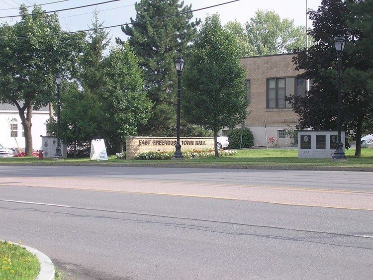
The East Greenbush Community Library serves nearly thirty-thousand patrons in a chartered district which includes the town of East Greenbush and portions of the town of Schodack. The library is a member of the Upper Hudson Library System, a resource-sharing consortium consisting of twenty-nine public libraries in the counties of Albany and Rensselaer. In 2001, the library moved from the East Greenbush Town Hall to its current location on Michael Rd.