
Population 112.6 million (2010) | ||
 | ||
Time zone Eastern Time zone (ETZ) (UTC−5:00) Similar West Coast of the United States, Gulf Coast of the United States, Southern United States | ||
Tsunami vision of the east coast of the united states
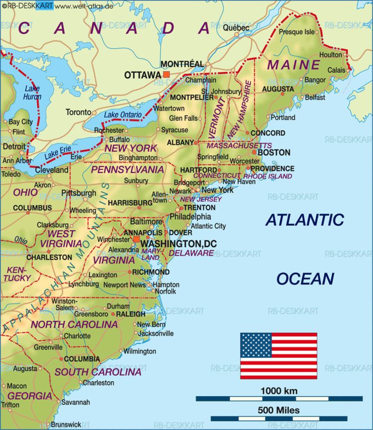
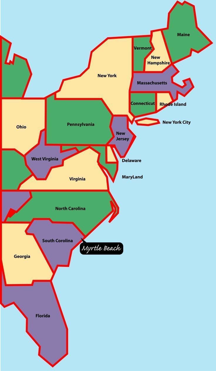
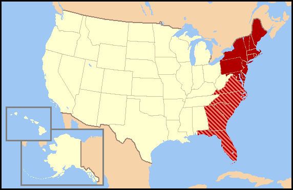
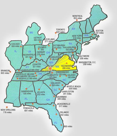
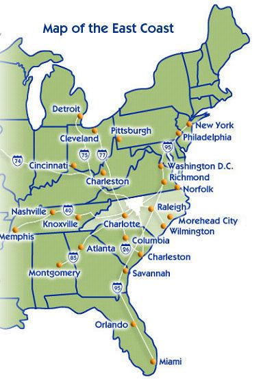
The East Coast of the United States is the coastline along which the Eastern United States meets the North Atlantic Ocean. This area is also known as the Eastern Seaboard, the Atlantic Coast, and the Atlantic Seaboard. The coastal states that have shoreline on the Atlantic Ocean are, from north to south, Maine, New Hampshire, Massachusetts, Rhode Island, Connecticut, New York, New Jersey, Delaware, Maryland, Virginia, North Carolina, South Carolina, Georgia, and Florida.
Contents
- Tsunami vision of the east coast of the united states
- Toponymy and composition
- Colonial history
- Climate and physical geography
- Demographics
- Transportation
- References
Toponymy and composition
The place name "East coast" derives from the idea that the contiguous 48 states are defined by two major coastlines, one at the western edge and one on the eastern edge. Other terms for referring to this area include the "Eastern Seaboard" ("seaboard" being American English for coast), "Atlantic Coast", and "Atlantic Seaboard" (because the coastline lies along the Atlantic Ocean.
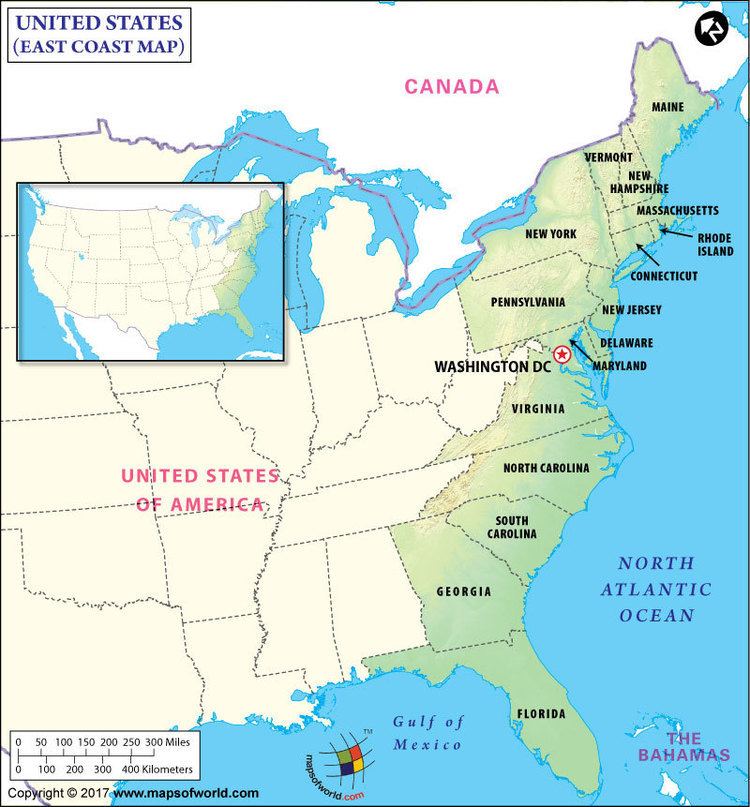
The fourteen states that have a shoreline on the Atlantic Ocean are, from north to south, the U.S. states of Maine, New Hampshire, Massachusetts, Rhode Island, Connecticut, New York, New Jersey, Delaware, Maryland, Virginia, North Carolina, South Carolina, Georgia, and Florida. In addition, Pennsylvania and the District of Columbia border tidal arms of the Atlantic (the Delaware River and the Potomac River, respectively).
Although Vermont and West Virginia have no Atlantic coastline, they are sometimes grouped with the Eastern Seaboard states because of their locations in New England and the Old South and their history as part of the land base of the original Thirteen Colonies (viz. the Colony of New Hampshire, the Colony of New York and the Colony of Virginia).
Colonial history
The original thirteen colonies of Great Britain in North America all lay along the East Coast.
Two additional U.S. states on the East Coast were not among the original thirteen colonies: Maine (became part of the English colony of Massachusetts in 1677) and Florida (part of New Spain until 1821, though held by the British for 20 years after the French and Indian War).
The Middle Colonies (New Jersey, Pennsylvania, New York, and Delaware) had been owned by the Dutch as New Netherland, until they were captured by the English in the mid-to-late 17th century.
Climate and physical geography
There are three climate regions on the East Coast from north to south:
The region from northern Maine south to about central Connecticut has a continental climate, with warm summers and long, cold and snowy winters. The region from southern Connecticut south to about the Virginia Eastern Shore has a temperate climate, with hot summers and cool winters with a mix of rain and snow. The region from southeastern Virginia (including the greater Norfolk/Virginia Beach area) south to central Florida has a humid subtropical climate, with long hot summers and mild winters. The far southern portion of the East Coast from south-central Florida southward (Stuart, south through the Florida Keys) has a tropical climate, which is frost free and is warm to hot all year.
Average monthly precipitation ranges from a slight late fall (November) maximum from Massachusetts northward (as at Portland, Maine), to a slight summer maximum from Long Island south to Virginia (as at Wilmington, Delaware, and Norfolk, Virginia), to a more pronounced summer maximum from Cape Hatteras, North Carolina, southward to Savannah, Georgia. Florida has a sharp wet-summer/dry-winter pattern, with 60 to 70 percent of precipitation falling between June and October in an average year.
Although landfalls are rare, the Eastern seaboard is susceptible to hurricanes in the Atlantic hurricane season, officially running from June 1 to November 30, although hurricanes can occur before or after these dates. Hurricanes Hazel, Hugo, Bob, Isabel, Irene, and most recently Sandy are some of the more significant storms to have affected the region.
The East Coast is a low-relief, passive margin coast. It has been shaped by the Pleistocene glaciation in the far northern areas from New York City northward, with offshore islands such as Nantucket, Block Island, Fishers Island, the nearly peninsular Long Island and New York City's Staten Island the result of terminal moraines, with Massachusetts' unique peninsula of Cape Cod showing the additional action of outwash plains, besides terminal moraines. The coastal plain broadens southwards, separated from the Piedmont region by the Atlantic Seaboard fall line of the East Coast rivers, often marking the head of navigation and prominent sites of cities. The coastal areas from Long Island south to Florida are often made up of barrier islands that front the coastal areas. Many of the larger capes along the lower East Coast are in fact barrier islands, like the Outer Banks of North Carolina and Cape Canaveral, Florida. The Florida Keys are made up of limestone coral and provide the only coral reefs on the US mainland.
Demographics
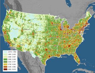
In 2010, the population of the states which have shoreline on the East Coast was estimated at 112,642,503 (36% of the Country's total population). The East Coast is the most populated coastal area in the United States.
Transportation
The primary Interstate Highway along the East Coast is Interstate 95, completed in the late 1970s, which replaced the historic U.S. Route 1 (Atlantic Highway), the original federal highway that traversed all East Coast states (except Delaware). By water, the East Coast is connected from Norfolk, Virginia, to Miami, Florida, by the Intracoastal Waterway, also known as the East Coast Canal, which was completed in 1912. Amtrak's Downeaster and Northeast Regional offer the main passenger rail service on the Seaboard. The Acela Express offers the only high-speed rail passenger service in the Americas. Between New York and Boston the Acela Express has up to a 54% share of the combined train and air passenger market.