
Country Guyana Area 36,234 km² | ||
 | ||
East Berbice-Corentyne (Region 6) is one of ten regions in Guyana covering the whole of the east of the country. It borders the Atlantic Ocean to the north, Suriname to the east, Brazil to the south and the regions of Mahaica-Berbice, Upper Demerara-Berbice, Potaro-Siparuni and Upper Takutu-Upper Essequibo to the west.
Contents
Map of East Berbice-Corentyne, Guyana
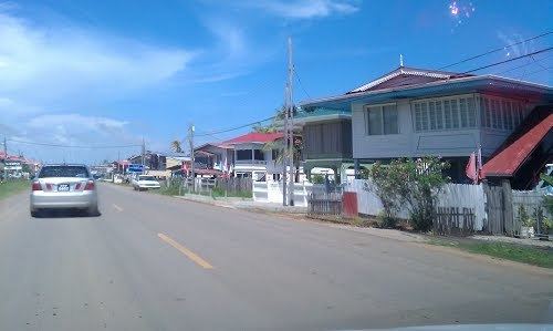
Towns in the region include New Amsterdam, Corriverton, Mara and Rose Hall.
The Corentyne River forms the whole of the eastern border with Suriname, though the southern-most section is disputed territory known as the Tigri Area.
Population
The Government of Guyana has administered three official censuses since the 1980 administrative reforms, in 1980, 1991 and 2002. In 2012, the population of East Berbice-Corentyne was recorded at 109,431 people. Official census records for the population of East Berbice-Corentyne are as follows:
Communities
(including name variants):