
 | ||
Restaurants Frank's Pizza House, Tre Mari Bakery, King's Tacos ‑ OPEN, Pizza e Pazzi, Dairy Freeze | ||
Earlscourt is a neighbourhood in Toronto, Ontario, Canada. It is centred on St. Clair Avenue West, with Dufferin Street, Davenport Road, and Old Weston Road forming its boundaries.
Map of Earlscourt, Toronto, ON, Canada
Earlscourt began as a squatter settlement in the early 20th century and annexed by the old City of Toronto in 1910. It was initially settled by British and Scottish immigrants. During World War I, the area had some of the highest enlistment rates in the British Empire. Several of the original settler shacks are still visible in the area. After the war the area became the centre of Toronto's Italian community, and it has remained a centre for Italian culture in Toronto. The stretch of St. Clair West that runs through the neighbourhood is known as Corso Italia.
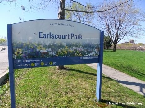
Earlscourt Park is located on the south side of St. Clair between Caledonia Park Road and Lansdowne Avenue.