
Country United States Elevation 519 m Local time Thursday 2:25 PM | GNIS feature ID 0470475 Area 289.7 km² Population 42 (2000) | |
 | ||
Weather 24°C, Wind N at 13 km/h, 33% Humidity | ||
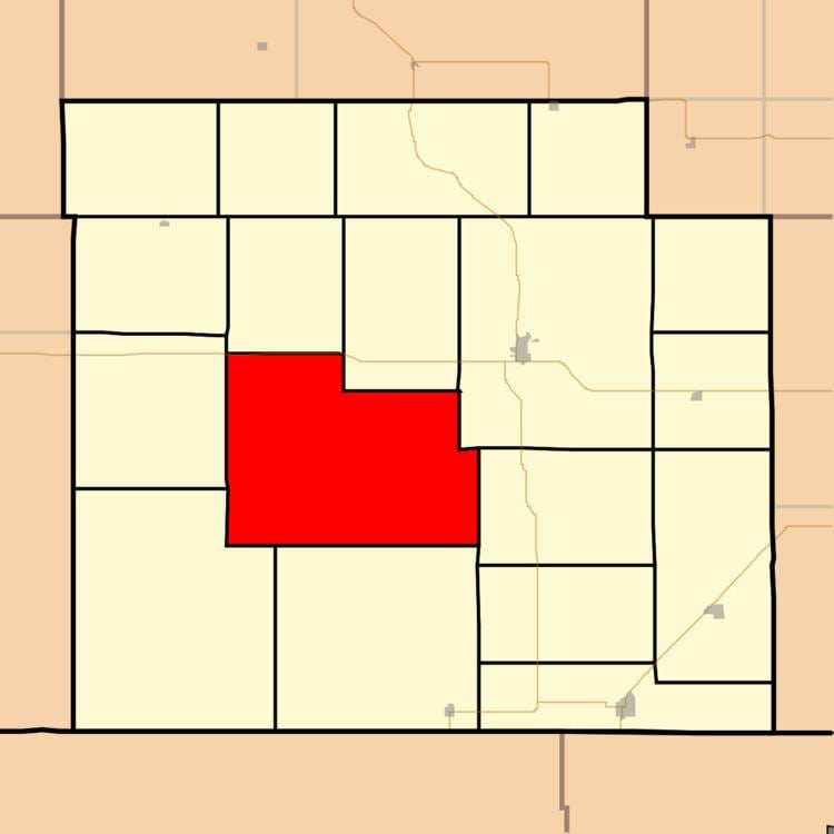
Eagle Township is a township in Barber County, Kansas, USA. As of the 2000 census, its population was 42.
Contents
Map of Eagle, KS, USA
Geography
Eagle Township covers an area of 111.87 square miles (289.7 km2) and contains no incorporated settlements. According to the USGS, it contains one cemetery, Lodi.
The streams of East Cedar Creek, Pump Creek, Salt Fork Arkansas River, Salty Creek and West Cedar Creek run through this township.
References
Eagle Township, Barber County, Kansas Wikipedia(Text) CC BY-SA