
Topo map USGS Eagle Peak Prominence 1,326 m Parent range Warner Mountains | Elevation 3,017 m Mountain range Warner Mountains | |
 | ||
Listing California county high points 15th Location Modoc County, California, U.S. Similar Hat Mountain, Mount Ingalls, Mount Pinchot, Mount Linn, Freel Peak | ||
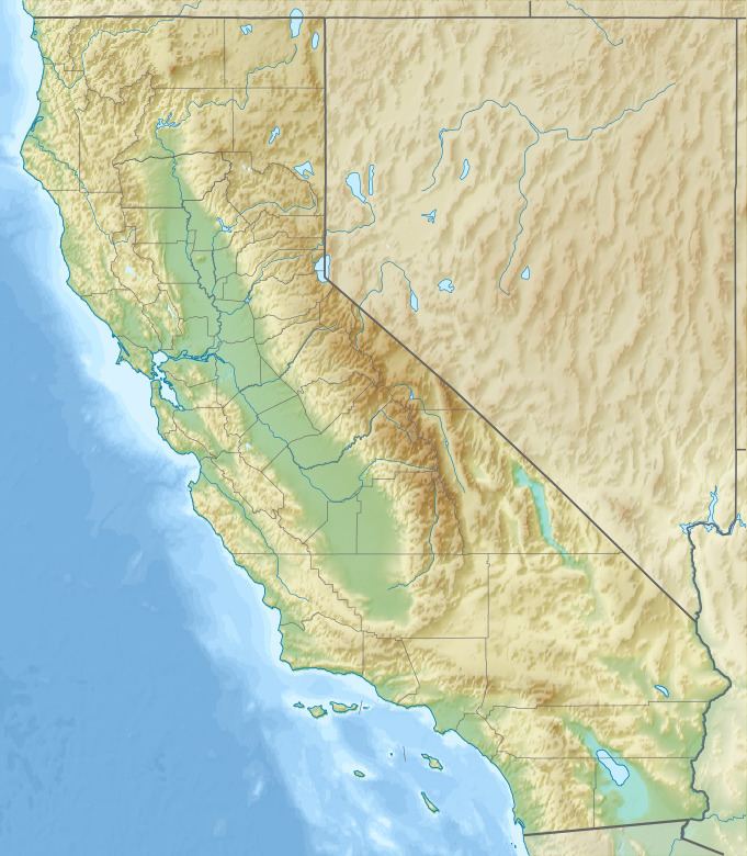
Eagle Peak is located in the Warner Mountains in Modoc County, California. The area is protected in the South Warner Wilderness on the Modoc National Forest. The summit is the highest point in the Warner Mountains and Modoc County. Much of the precipitation that falls on Eagle Peak is snow due to the high elevation of the mountain.
Map of Eagle Peak, California 96110, USA
References
Eagle Peak (California) Wikipedia(Text) CC BY-SA