
Highest point Gora Alagordy Mountains Gora Alagordy | ||
 | ||
Similar Küngöy Ala‑Too Range, Burkhan Bulak Waterfall, Khan Tengri, Terskey Alatau, Ustyurt Plateau | ||
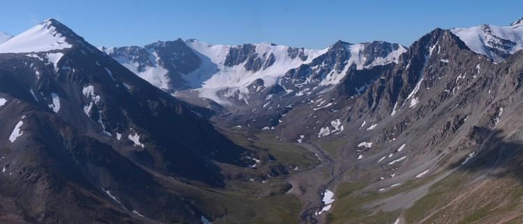
The Dzungarian Alatau (Russian: Джунгарский Алатау Dzhungarskiy Alatau; Chinese: 阿拉套山; pinyin: Ālātào Shān; Kazakh: Жетісу Алатауы Jetisw Alatawı) is a mountain range that lies on the boundary of the Dzungaria region of China and the Zhetysu region of Kazakhstan. It has a length of 450 km (280 mi) and a maximum elevation of 4,464 m (14,646 ft).
Map of Dzungarian Alatau, Kazakhstan
At the eastern end of the chain, near the China–Kazakhstan border, lies the Dzungarian Gate, a pass which for centuries was used as an invasion route by conquerors from Central Asia.
References
Dzungarian Alatau Wikipedia(Text) CC BY-SA