
Local time Wednesday 11:20 PM | ||
 | ||
Administratively subordinated to town of republic significance of Dyurtyuli Administrative center of Dyurtyulinsky District, town of republic significance of Dyurtyuli Municipal district Dyurtyulinsky Municipal District Urban settlement Dyurtyuli Urban Settlement Weather -8°C, Wind E at 11 km/h, 85% Humidity | ||
Dyurtyuli (Russian: Дюртюли; Bashkir: Дүртөйлө, Dürtöylö) is a town in the Republic of Bashkortostan, Russia, located on the left bank of the Belaya River 126 kilometers (78 mi) northwest of Ufa. Population: 31,274 (2010 Census); 29,984 (2002 Census); 25,264 (1989 Census).
Contents
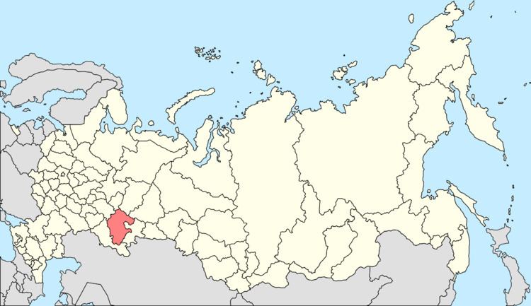
- Map of Dyurtyuli Republic of Bashkortostan Russia
- Etymology
- History
- Administrative and municipal status
- Demographics
- References
Map of Dyurtyuli, Republic of Bashkortostan, Russia
Etymology
In the Tatar and Bashkir languages, the name of the town means "four houses".
History
It has been known since 1795. Urban-type settlement status was granted to it in 1964; town status was granted in 1989.
Administrative and municipal status
Within the framework of administrative divisions, Dyurtyuli serves as the administrative center of Dyurtyulinsky District, even though it is not a part of it. As an administrative division, it is, together with the village of Argamak, incorporated separately as the town of republic significance of Dyurtyuli—an administrative unit with the status equal to that of the districts. As a municipal division, the town of republic significance of Duyrtyuli is incorporated within Dyurtyulinsky Municipal District as Dyurtyuli Urban Settlement.
Demographics
As of the 2002 Census, ethnic composition of the town was: