
Time zone EET (UTC+2) Vehicle registration ΑΧ Local time Wednesday 4:43 PM | Elevation 48 m (157 ft) Postal code 252 00 Website www.dymi.gr Area code 26930 | |
 | ||
Weather 16°C, Wind SE at 0 km/h, 59% Humidity | ||
Dymi (Greek: Δύμη) is a former municipality in Achaea, West Greece, Greece. Since the 2011 local government reform it is part of the municipality West Achaea, of which it is a municipal unit. The municipal unit has an area of 71.553 km2. Its seat of administration was the town of Kato Achaia. It is located 20 km southwest of Patras.
Contents
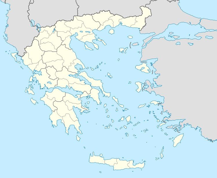
Map of Dymi 252 00, Greece
Subdivisions
The municipal unit Dymi is subdivided into the following communities (constituent villages in brackets):
References
Dymi, Achaea Wikipedia(Text) CC BY-SA